ⓘ
YOUR NEXT DISCOVERY
Rio Douro
Villages, valleys and trails: follow your curiosity through the Cabreira in Rio Douro.
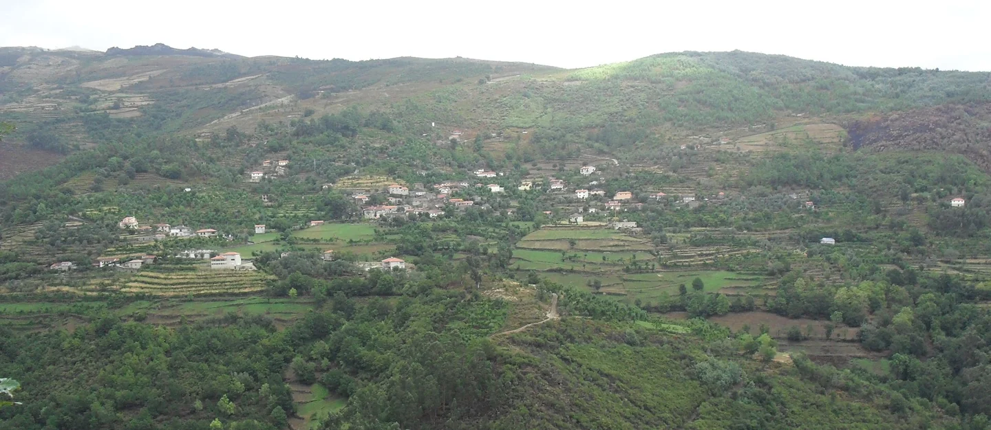
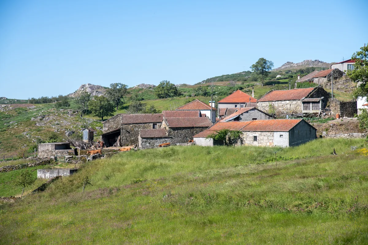
Panoramic view of Vilela, Rio Douro, with houses and agricultural plots on the slopes.
ⓘSave and share
CHOOSE YOUR FIRST STOP
Explore the parish Places to discover.
Save the highlights of this page.
Swipe to see more places →
ⓘ

Villages and places
ⓘFormigueiro
The village identified as the start and finish of the Trilho do Pisão e Nariz do Mundo.
Rio DouroThe parish’s historyRead the 5 chapters
Villages, valleys and trails: follow your curiosity through the Cabreira in Rio Douro. The parish also appears in sources as Riodouro. Formigueiro, the Currais and Cavez valleys and Nariz do Mundo offer starting points for exploring the landscape. The church, chapels, manor houses and traces of earlier settlement add further layers to local history.
A mountain parish with many settlements
On the slopes of the Cabreira, the Currais and Cavez streams shape valleys and farmland. Rio Douro, also written Riodouro in municipal sources, combines higher ground with settlements that have their own identities. The terrain offers a useful thread for exploring this variety.
Settlement and medieval records
The municipal introduction refers to the royal inquiries of 1220 and 1258 for the study of settlement and land ownership. The archaeological sites inventoried in the area add evidence from other periods, which should not be reduced to a single chronology. In the 1758 parish account, Santo André de Riodouro appears as a parish spread across several settlements, among hills running from north to south.
Houses, chapels and village memories
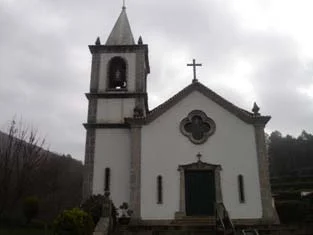
The church, manor houses, the houses of Eira, Reboseira and Leiradas, and the chapel of Juguelhe are among the local landmarks. Nariz do Mundo is a landscape feature distinct from the restaurant of the same name. The name Rio Douro does not mean the parish lies beside the River Douro: the municipality’s waterways belong to the Tâmega and its tributaries.
Chapels in a parish of many settlements
The 1758 account lists fifteen settlements and describes hermitages serving communities far from the parish church. Dedications include São Gonçalo de Vilela, São Frutuoso de Leiradas and Santa Eufémia de Rio Douro. It also records religious processions involving neighbouring parishes. This network of small chapels helps us study links between settlements and religious routes, without assuming every practice described continues today.
Fields, irrigation channels and changing altitude
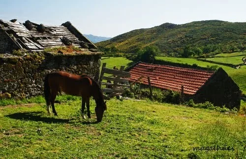
The parish priest distinguishes valley crops, including maize and wine, from rye grown on the hills. He describes irrigation channels and waterways unsuitable for navigation. This account brings settlement, terrain and agricultural water use together. The photograph of Vilela’s landscape taken in 2009 provides a dated record of one of these settlements; its stated date is retained and does not certify the landscape’s present condition.
Villages and places
Eiró · Formigueiro · Cambeses · Vilela · Juguelhe · Toninha · Asnela
Discover the municipality’s history
Sources and information
A selection of places in the parish, with room to grow.
Main source consulted in 04/11/2026.
View 4 sources and the review record
- Main source
- INE — Census population 2021, geography 2025
- DGT — CAOP and administrative limits
- Parochial Memories of 1758 — Riodouro (municipal transcript)
Main source consulted: 2026-11-04
Publication at that source: Unidentified. Registered documentary verification: 2026-11-04.
Method recorded in that review: Documental review in 04/11/2026 of the municipal pages, historical transcripts and references indicated. Uncollated manuscripts. Archivistic descriptions, studies of oral tradition and dated observations are identified. Visually revised photographs from the Commons file consulted in 03/11/2026; camera position does not equal the survey of the object.
Editorial review: 2026-11-06. The editorial review is neither a visit to the site nor a real-time update. Additional times and sources may have their own consultation dates, indicated in the form.
Found different information? Suggest correction
TAKE A CLOSER LOOK
The parish in photographs
More photographs +17
ⓘ
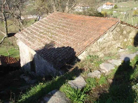
Casa das Lages in Vilela — photograph from the 2008 municipal inventory.
Source: Municipality of Cabeceiras de Basto
Photograph date not stated.
Individual photographer and reuse licence not stated by the source.
ⓘ
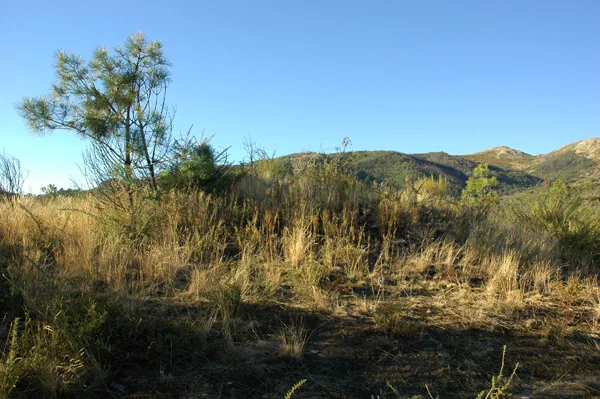
Lomba megalithic complex in Asnela.
Source: Carta Arqueológica de Cabeceiras de Basto
Photograph date not stated.
Autoria da fotografia e licença de reutilização não identificadas na fonte.
ⓘ
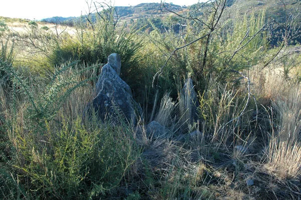
Lomba megalithic complex in Asnela.
Source: Carta Arqueológica de Cabeceiras de Basto
Photograph date not stated.
Autoria da fotografia e licença de reutilização não identificadas na fonte.
ⓘ
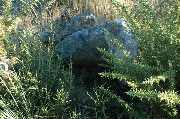
Lomba megalithic complex in Asnela.
Source: Carta Arqueológica de Cabeceiras de Basto
Photograph date not stated.
Autoria da fotografia e licença de reutilização não identificadas na fonte.
ⓘ
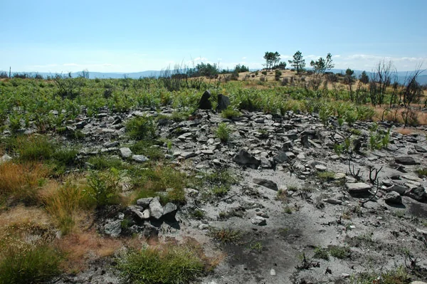
Remains of the Juncal megalithic complex.
Source: Carta Arqueológica de Cabeceiras de Basto
Photograph date not stated.
Autoria da fotografia e licença de reutilização não identificadas na fonte.
ⓘ
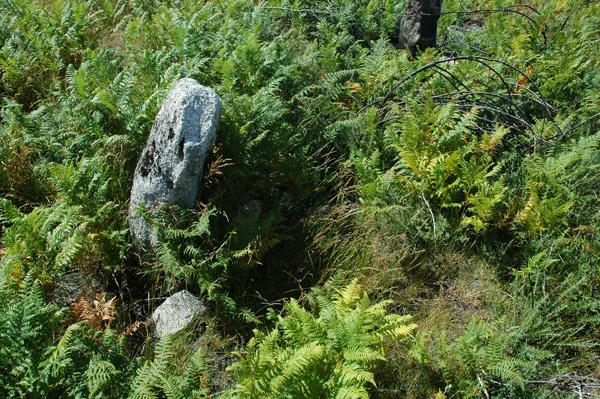
Remains of the Juncal megalithic complex.
Source: Carta Arqueológica de Cabeceiras de Basto
Photograph date not stated.
Autoria da fotografia e licença de reutilização não identificadas na fonte.
ⓘ
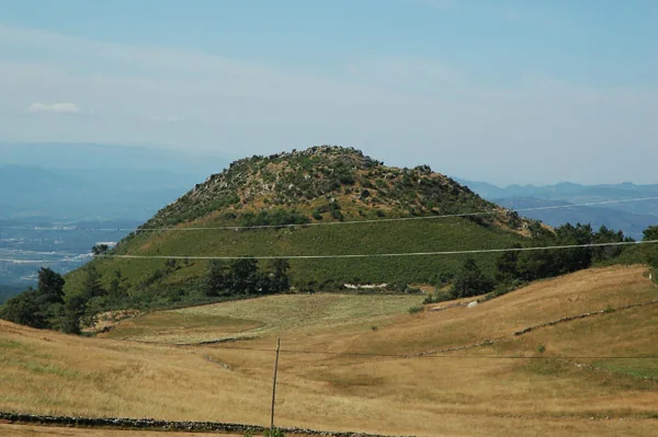
Monte do Castelo in Formigueiro.
Source: Carta Arqueológica de Cabeceiras de Basto
Photograph date not stated.
Autoria da fotografia e licença de reutilização não identificadas na fonte.
ⓘ
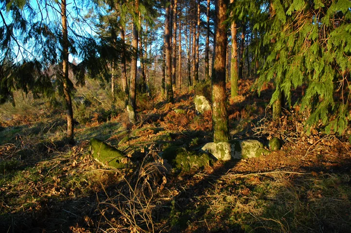
Remains of Aldeia Velha de Toninha.
Source: Carta Arqueológica de Cabeceiras de Basto
Photograph date not stated.
Autoria da fotografia e licença de reutilização não identificadas na fonte.
ⓘ
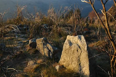
Remains of Aldeia Velha de Toninha.
Source: Carta Arqueológica de Cabeceiras de Basto
Photograph date not stated.
Autoria da fotografia e licença de reutilização não identificadas na fonte.
ⓘ
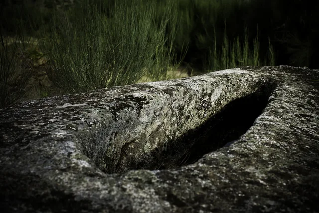
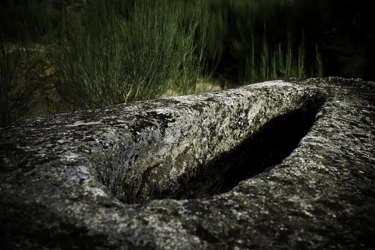
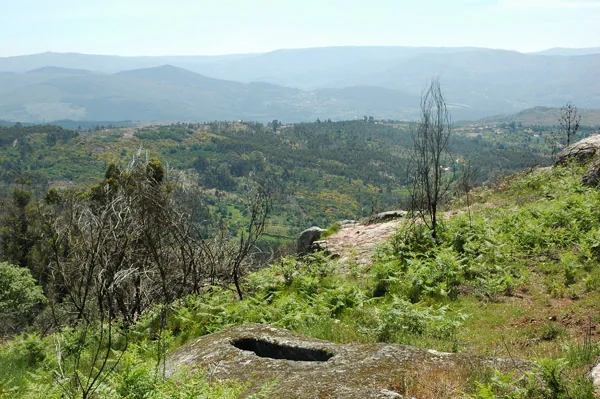
Campas dos Mouros rock-cut graves in Cambezes.
Source: Carta Arqueológica de Cabeceiras de Basto
Photograph date not stated.
Autoria da fotografia e licença de reutilização não identificadas na fonte.
ⓘ
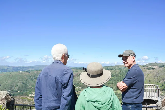
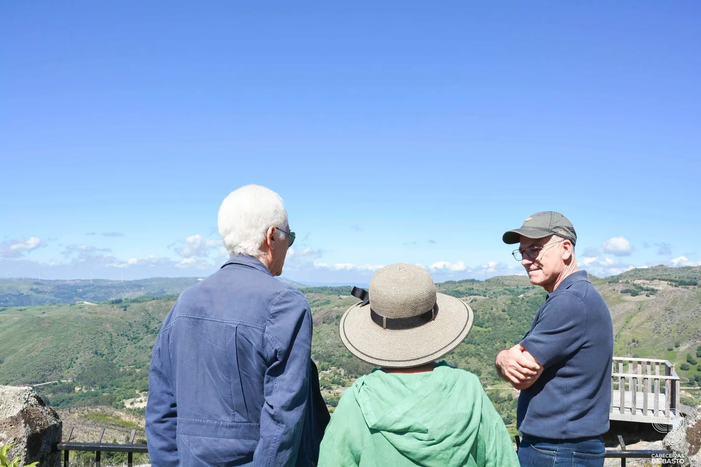
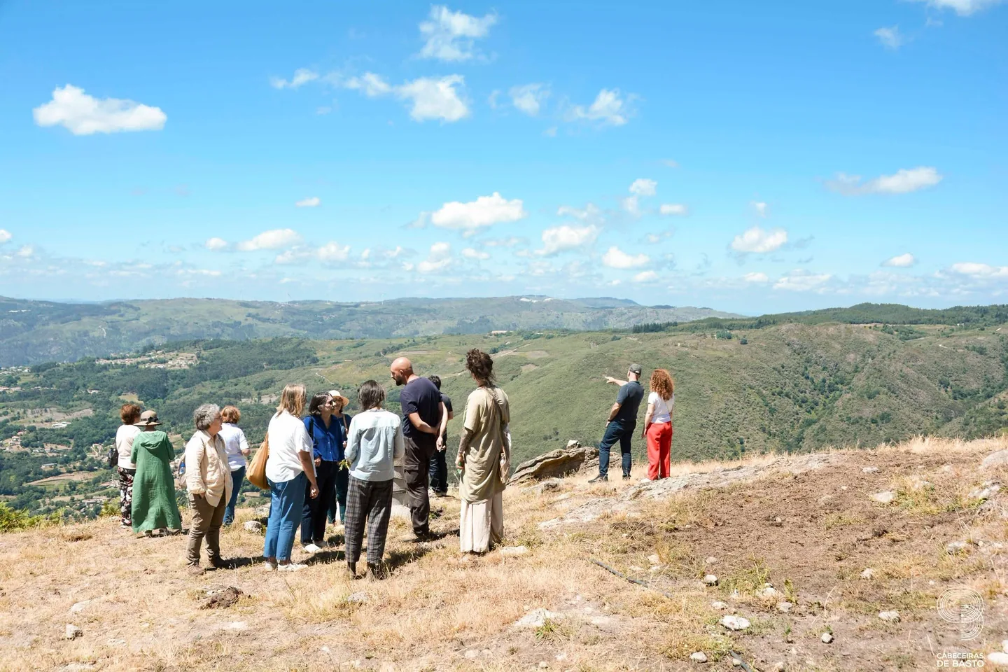
Group observing the landscape during the 2026 Esporões visit.
Source: Museu das Terras de Basto
Photograph date not stated.
Autoria da fotografia e licença de reutilização não identificadas na fonte.
ⓘ
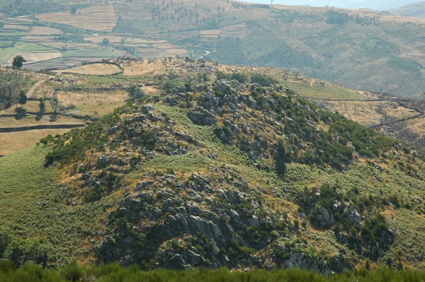
Monte do Castelo in Formigueiro.
Source: Carta Arqueológica de Cabeceiras de Basto
Photograph date not stated.
Autoria da fotografia e licença de reutilização não identificadas na fonte.
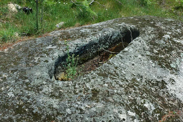
ⓘ
Campas dos Mouros rock-cut graves in Cambezes.
Source: Carta Arqueológica de Cabeceiras de Basto
Photograph date not stated.
Autoria da fotografia e licença de reutilização não identificadas na fonte.
Stories and nature of this parish
01
A mountain parish with many settlements
02On the slopes of the Cabreira, the Currais and Cavez streams shape valleys and farmland.
Settlement and medieval records
03The municipal introduction refers to the royal inquiries of 1220 and 1258 for the study of settlement and land ownership.
Houses, chapels and village memories
The church, manor houses, the houses of Eira, Reboseira and Leiradas, and the chapel of Juguelhe are among the local landmarks.
THERE'S MORE TO TELL
Explore the 30 stories Stories of this place.
Knowledge, landscapes and memories linked to this parish.
Choose from 14 activities here →
2 guides with stories from here → · To follow a story by chapters.
Travel through time
Rio Douro: life between settlements divided by hills
Fifteen villages, nearby chapels and gatherings across parish boundaries.
- About 2 min of reading
From valley to hill, the harvest changed
The landscape helped shape the pantry too.
- About 1 min to read
- Includes activity
- Interactive exploration
Fish in an old portrait
Trout and other freshwater fish appear in Rio Douro’s historical accounts.
- About 1 min to read
Another 27 stories from here
Travel through timeFeatured in the latest updates
A landscape can be read from afar
At Esporões, the view met stories of pastoral life.
- About 1 min to read
The channel became part of the house’s story
At Casa das Lages in Vilela, water powered olive oil.
- About 1 min to read
First olive oil, then irrigation
At Portelada, water had more than one job.
- About 1 min to read
Teixugueiras: two dates, a careful reading
A worn inscription and a cross preserve different clues.
- About 1 min to read
A small frog with a strong connection to water
Some lives depend on the bank as much as the stream.
- About 1 min to read
- Includes activity
- Interactive exploration
Animals remembered in the mountains
A list from 1758 combines encounters, abundance and passing visitors.
- About 1 min to read
Not every leaf is equally prickly
Even on a single holly tree, leaves can differ.
- About 2 min of reading
- Includes activity
- Words explained
- Interactive exploration
Moscoso looks out over the valley
Mountain houses, a stream and a name that stays with you.
- About 1 min to read
- Includes activity
From spring to fields
A stream helps explain an entire landscape.
- About 2 min of reading
Two rivers tell a parish’s story
The 1758 account describes Rio Douro between east and west.
- About 2 min of reading
- Includes activity
- Words explained
- Interactive exploration
In summer, the water took other paths
Irrigation channels linked river flows to work in the fields.
- About 2 min of reading
- Includes activity
- Words explained
- Interactive exploration
On the common lands, woodland meets waterways
A Rio Douro project reveals different roles within one landscape.
- About 2 min of reading
- Includes activity
- Interactive exploration
Water worked the wool too
Wool and grain: two tasks beside one stream.
- About 2 min of reading
- Includes activity
- Interactive exploration
Textiles that left the village
Wool and linen travelled to the São Miguel and Santa Luzia fairs.
- About 1 min to read
The herd was the village’s concern too
In Cambezes, mutual help reached the pastures.
- About 1 min to read
- Includes activity
Granite shapes the village too
In Vilela, the walls help you recognise the landscape.
- About 1 min to read
- Includes activity
- Words explained
Bucos’s wool travels with those who teach
Preserving a craft includes sharing it.
- About 2 min of reading
- Includes activity
- Chronology to explore
One water supply, several tasks
In Eiró, the oil mill connected with field irrigation.
- About 1 min to read
A castle read through the ground
In Eiró, the circular shape and ditch tell a story.
- About 2 min of reading
- Includes activity
- Interactive exploration
The village that remained in memory
The remains of Toninha’s Aldeia Velha tell of another time.
- About 1 min to read
- Includes activity
- Interactive exploration
Two graves, one direction
In Rio Douro, orientation helps interpret the past.
- About 1 min to read
- Words explained
A settlement shaped by the hillside
At Monte do Castelo, the terrain is part of the story.
- About 1 min to read
Settlement shifted between mountain and valley
Romanisation also changed the relationship between mountains and fields.
- About 1 min to read
- Interactive exploration
Tombs and settlement: a connection to investigate
At Portela de Asnela, the landscape leaves a question.
- About 1 min to read
- Words explained
- Interactive exploration
Fifteen settlements, a network of chapels
Distance from the church also shaped village life.
- About 1 min to read
- Includes activity
Rio Douro found new ways to gather
Two associations from the 1980s added other encounters to parish life.
- About 2 min of reading
Rio Douro: water did more than irrigate
Mills, olive presses and a fulling mill appear in one old account.
- About 1 min to read
A LOOK AT NATURE
Nature registered here.
Observations of citizen science with location published in this parish, crossed with the limits CAOP2025. They are not visiting points or independent confirmation in the field.
Coming up.
View eventsNo events in our calendar for this parish. Discover other ideas.
Browse by category
THE PARISH, YOUR WAY
18 places in the guideWhat are you looking for in this parish?
YOUR PARISH COUNCIL
Junta de Freguesia de Rio Douro
Rua Central de Cambeses, 8, 4860-422 Riodouro
The parish council announces services in several locations. Confirm the service location before travelling.
The parish council website lists Wednesday, 17:30–18:30, and the 1st and 3rd Saturday of the month, 09:30–11:00.
It also mentions the afternoon of the 1st Saturday in Vilela and the morning of the 1st Sunday in Eiró, without exact times.
Confirm the service location and any changes with the parish council.
Hours source
Opening hours published by the source · 15/11/2026. View opening-hours source
An idea for your visit
Plan a visit: Rio Douro: villages and horizons →Other visit ideas
THE STORY CONTINUES ELSEWHERE