From spring to fields
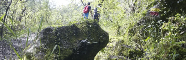
A stream helps explain an entire landscape.
Text size
Your choice is saved only in this browser.
The Cavez stream rises on the municipality’s boundary with Montalegre and ends in the Tâmega. Between mountain and mouth, the municipal description highlights irrigation channels, mills and watered meadows: structures and fields showing different ways of using water.
On the trail starting in Vilela, Rio Douro, the account moves from the descent to the stream towards the irrigation channel and meadow landscape, then along rural tracks and the hillside. Returning to the village brings another material into the story: the granite masonry of its houses. Consult the route profile to prepare your walk; this story explains the landscape without confirming the path’s condition on the day of your visit.
The municipal description presents the section along the channel to Reboriça as gently sloping; the hillside climb is the most demanding part. Water does not tell the whole story of effort: the return matters too.
Try reading a photograph of this landscape in three layers: water, fields and houses. Look for a line carrying water, a plot depending on it and a building material. Can you explain how the three relate? This observation exercise can also be done at home.
Explore further: words and activities
Explore this story
Source and context
Municipality — stream of Cavez and agricultural landscape
Consultations: ,
Editorial summary; the date of consultation is not the date of the facts.