A mountains and a river to locate Passos

Two names help you read southwest of the municipality.
Explore this story
Your choice is saved only in this browser.
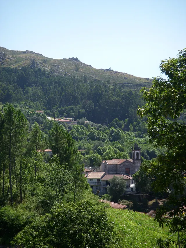
Serra da Orada and the Petimão River help to locate Passos in the southwest of Cabeceiras. The municipal description highlights the rugged relief and agriculture, along with the municipalities of Celorico of Basto and Fafe.
The church of São Sebastião, the cruises and the alminhas add references built to the reading of the landscape. Rio, Serra and patrimony are complementary clues to know this land; they do not make up a pedestrian itinerary here nor confirm accesses.
In the description of Passos, the municipality also refers to the neighborhood of the old parishes of Outeiro, Refojos and Alvite. This proximity scale helps to situate the mountain and river within a shared territory. Administrative boundaries and landscape elements are different ways of reading the same space.
From landscape to work
Open an option and choose the story.
The Petimão and the Ramil mill
From Petimão to olive oil press →A transformative levity
The water changed its way →Another small river, another link
A small river also draws the map →The harvests in the report of 1758
In the fields, there was more than corn →
Source and context
Municipality — landscape of Alvite e Passos
Accessed: . Editorial summary; the date of consultation is not the date of the facts.