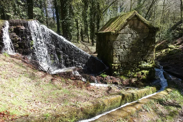
Trilho de Torrinheiras
- Circular
- 10,0 km · leaflet
- 3h35 · estimated leaflet
As fontes diferem. Sources have different length and duration: municipal leaflet of 10,0 km/3h35; Visit Cabeceiras of 10,5 km/4–5 hours.
Revisto:
Partida, folheto e condiçõesFour walks to discover the mountains, mills and paths of Cabeceiras. Compare the routes before choosing.
4 lugares · 2 freguesias
Open each form to consult the starting point, distances and leaflets. The sources do not always coincide in duration or difficulty: these differences are marked. This selection brings together independent routes; prepare the walk and confirm the local conditions before leaving.
Data from revised forms. The times are estimates of the sources, not an individual forecast. Please refer to the differences and the leaflet before choosing.
As fontes diferem. Sources have different length and duration: municipal leaflet of 10,0 km/3h35; Visit Cabeceiras of 10,5 km/4–5 hours.
Revisto:
Partida, folheto e condiçõesRevisto:
Partida, folheto e condiçõesRevisto:
Partida, folheto e condiçõesAs fontes diferem. The municipal record and leaflet indicate 10,3 km and medium-high difficulty; the Visit Cabeceiras publishes 10,2 km and easy. The difference is not explained in the sources.
Revisto:
Partida, folheto e condiçõesChoose the places you are interested in. Each form brings together the sources and visit information available.
A mountain circuit from Torrinheiras, passing old boundary markers, mountain scenery and Porto d’Olho.
AbadimFrom Formigueiro to the old fulling mill and Nariz do Mundo: a walk through wool-working heritage, meadows and the stream valley.
Rio DouroA circuit from Vilela, following the stream, irrigation channels and old farm tracks of Riodouro.
Rio DouroFrom Oural Dam to the mills and Porto d’Olho: follow the water that shaped the landscape and powered grain milling.
Abadim