Discover this place
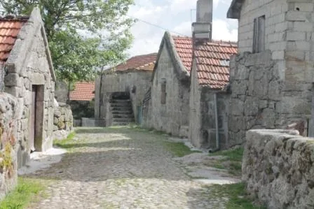
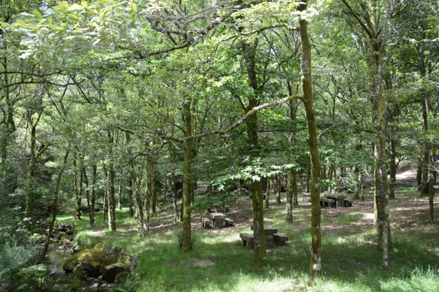
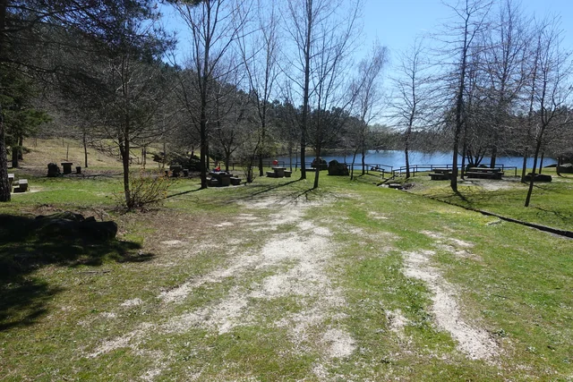
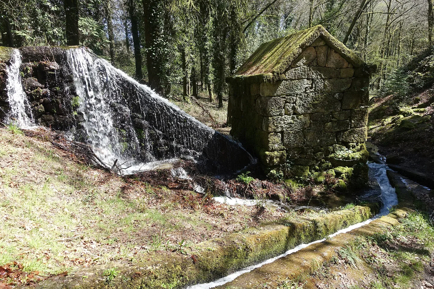
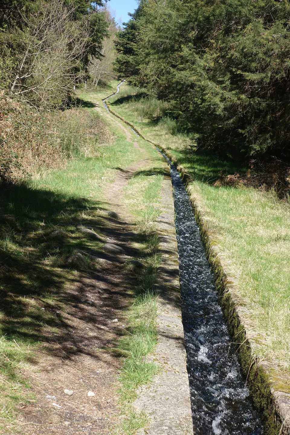
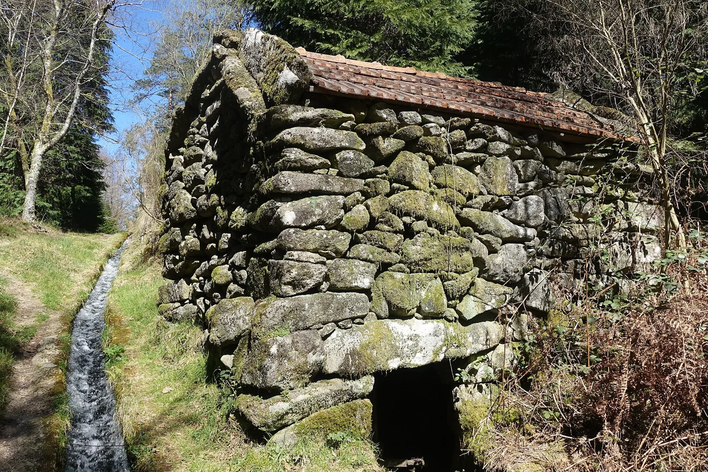
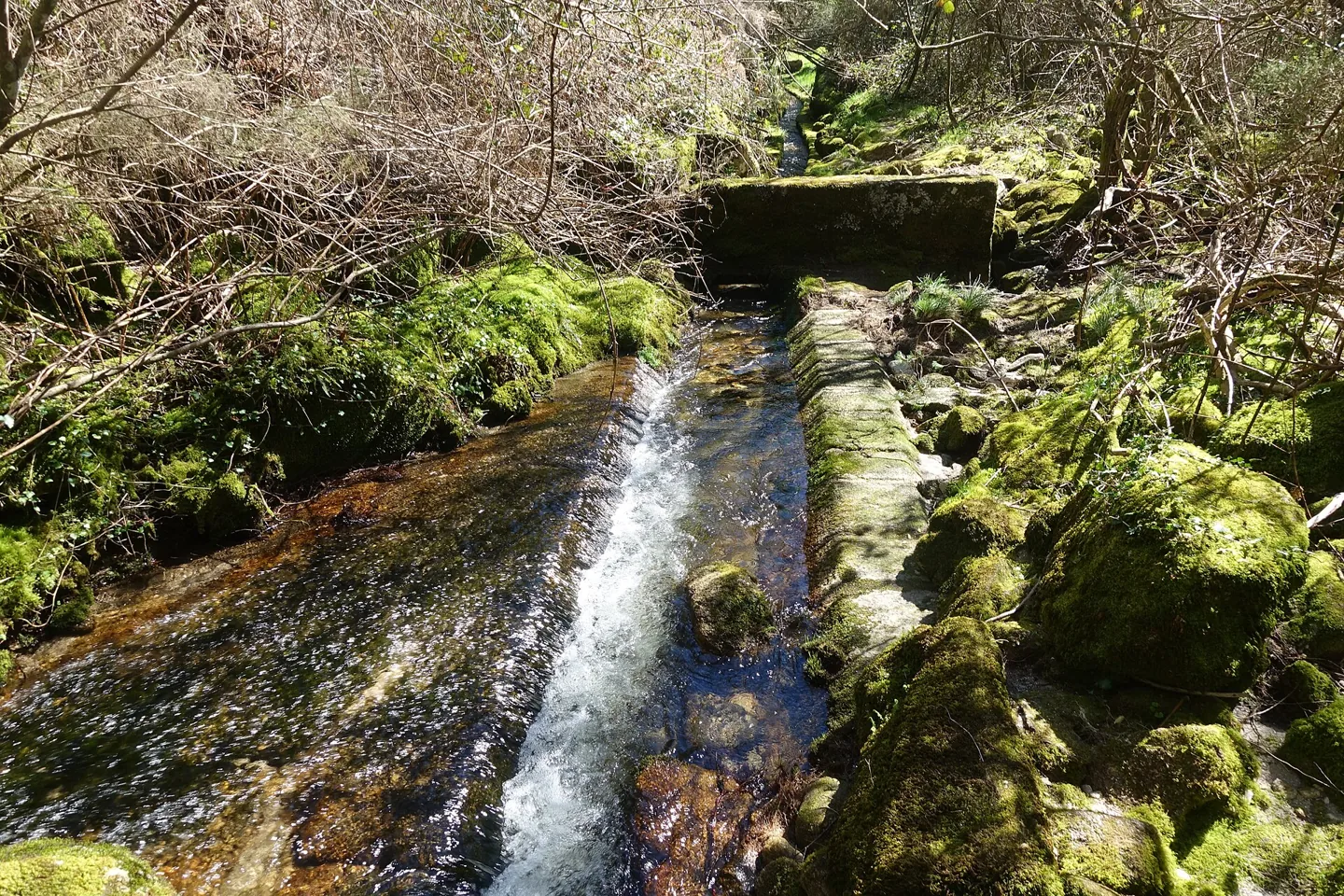
The municipal listing and leaflet identify a 10.3 km loop starting at Oural Reservoir, Abadim. The leaflet estimates 3h45 and 357 m of cumulative ascent and descent; the text rates the difficulty as medium-high. Moinhos de Rei, Porto d’Olho and the Víbora leisure area are places along the route. The certification letter dated 19/03/2026 identifies it as PR1 CBC.
Sources and updates
Main source consulted in 05/11/2026. Schedules have their own revision when indicated.
View 5 sources and the review record
Factual context: The parish indicated corresponds to the location and the published departure; it does not represent an integral cartographic delimitation of the itinerary. Duration and level are values of the source.
- Main source
- Visit Cabeceiras — route record; consultation 05/11/2026
- Municipality — route leaflet; consultation 05/11/2026
- Municipality — approval letter of 19/03/2026; consultation 05/11/2026
- Municipality — reference point given in the document at 08/11/2026
Publication at that source: Unidentified. Registered documentary verification: 2026-11-05.
Method recorded in that review: Documentary confrontation of specific institutional page, published location and leaflet when existing. No call, message or visit to the terrain.
Editorial review: 2026-11-08. The editorial review is neither a visit to the site nor a real-time update. Additional times and sources may have their own consultation dates, indicated in the form.
Found different information? Suggest correction
Save and share
Address, contacts and opening hours to paste into a message or your notes.