Nature and landscape
ⓘMoinhos de Rei
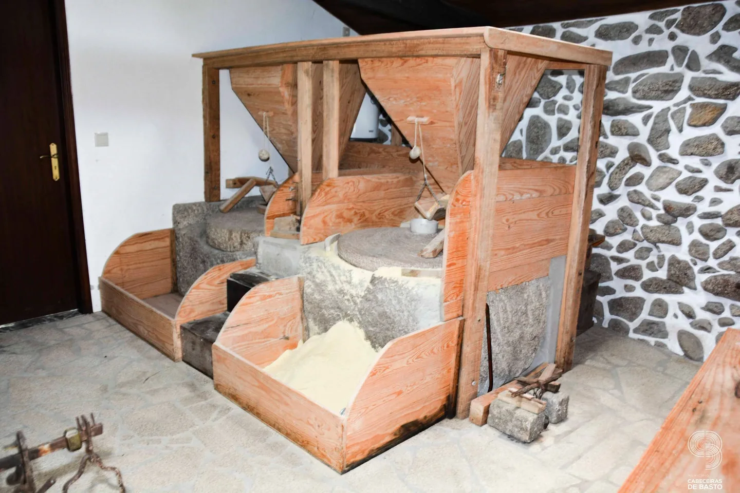
Mills and scenery in Abadim: discover the heritage of grain milling.
AbadimBetween the Peio and the Cabreira, follow mills, crafts and the history of an old couto.
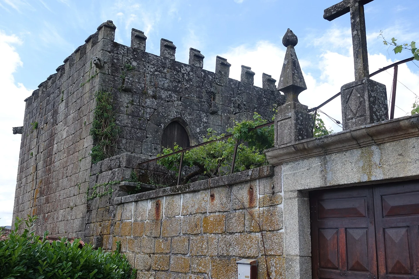
Abadim Tower, with battlements, beside an enclosure and stone buildings.
ⓘSwipe to see more places →
Mills and scenery in Abadim: discover the heritage of grain milling.
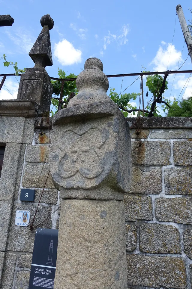
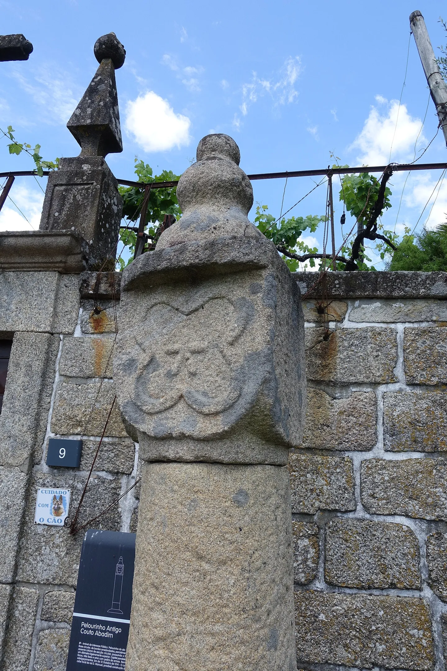
AbadimA star carved in granite and the memory of an old couto: discover Abadim’s pillory.
AbadimBetween the Peio and the Cabreira, follow mills, crafts and the history of an old couto. The Tower and pillory preserve Abadim’s memories; Moinhos de Rei brings the discovery closer to water. Weaving and rag blankets tell another part of this place’s story.
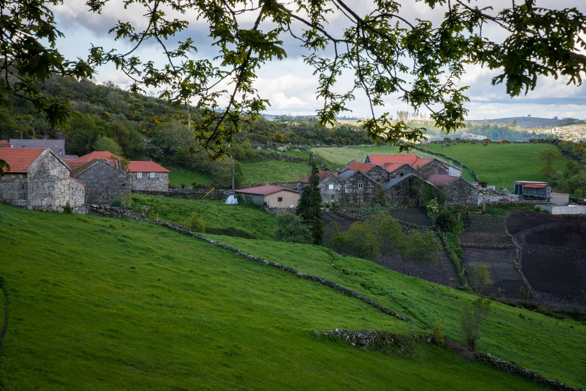
From the slopes of the Cabreira to the damp land of the Peio valley, Abadim changes with the terrain. Abadim, Travassô, Torrinheiras and Porto d’Olho are the four settlements highlighted by the municipality. Knowing their names is a first step towards exploring the parish beyond its centre.
The Tower, the old couto’s pillory and Casa da Ramada recall powers and forms of organisation that predate the modern municipality. In 1514, Manuel I granted the charter of Vadym, Abadim’s historical name, distinct from the charter of Cabeceiras de Basto. In the 1758 parish account, Abbot José Antunes identifies São Jorge de Abadim as a couto within the district of Guimarães.
Moinhos de Rei connects milling memories with the use of water. Weaving and rag blankets also appear among local skills. The church of São Jorge and devotions to Saint Anthony and the Blessed Sacrament complete this journey through work, community life and religious heritage. References to celebrations describe traditions, not the programme of a particular edition.
Alongside Bucos, Abadim is one of the territories identified in entry INPCI_2023_016 for the Jogo do Pau of Cabeceiras de Basto. The inventory associates the practice with ARDCA and the São João Baptista de Bucos association. National recognition was announced in December 2023. Its heritage value also lies in learning between players and continuity within the community, beyond festival demonstrations.
The 1758 account distinguishes crops in Torre and Santo António from those in the colder settlements of Travassô, Porto d’Olho and Torrinheiras. It highlights rye in the uplands, and mentions maize, wine, olive oil and chestnuts elsewhere. It also records six mills belonging to the parish. This description connects milling with the landscape and agricultural work without assuming all those mills survive.
Abadim · Travassô · Torrinheiras · Porto d’Olho
Discover the municipality’s history
A selection of places in the parish, with room to grow.
Main source consulted in 04/11/2026.
Publication at that source: Unidentified. Registered documentary verification: 2026-11-04.
Method recorded in that review: Documental review in 04/11/2026 of the municipal pages, historical transcripts and references indicated. Uncollated manuscripts. Archivistic descriptions, studies of oral tradition and dated observations are identified. Visually revised photographs from the Commons file consulted in 03/11/2026; camera position does not equal the survey of the object.
Editorial review: 2026-11-06. The editorial review is neither a visit to the site nor a real-time update. Additional times and sources may have their own consultation dates, indicated in the form.
Found different information? Suggest correction
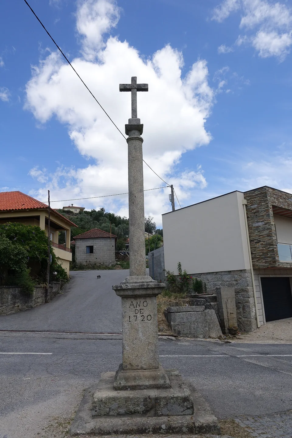
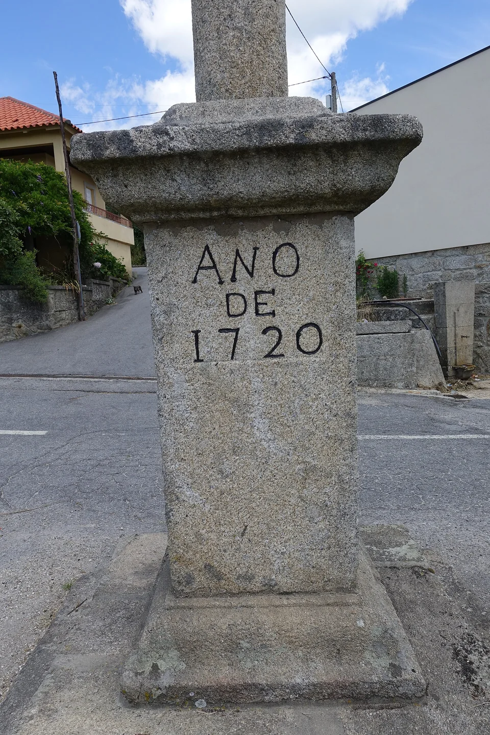
Inscription ANO DE 1720 on a wayside cross pedestal in Abadim.
Photography: Joseolgon · CC BY-SA 4.0
Date given at source: .
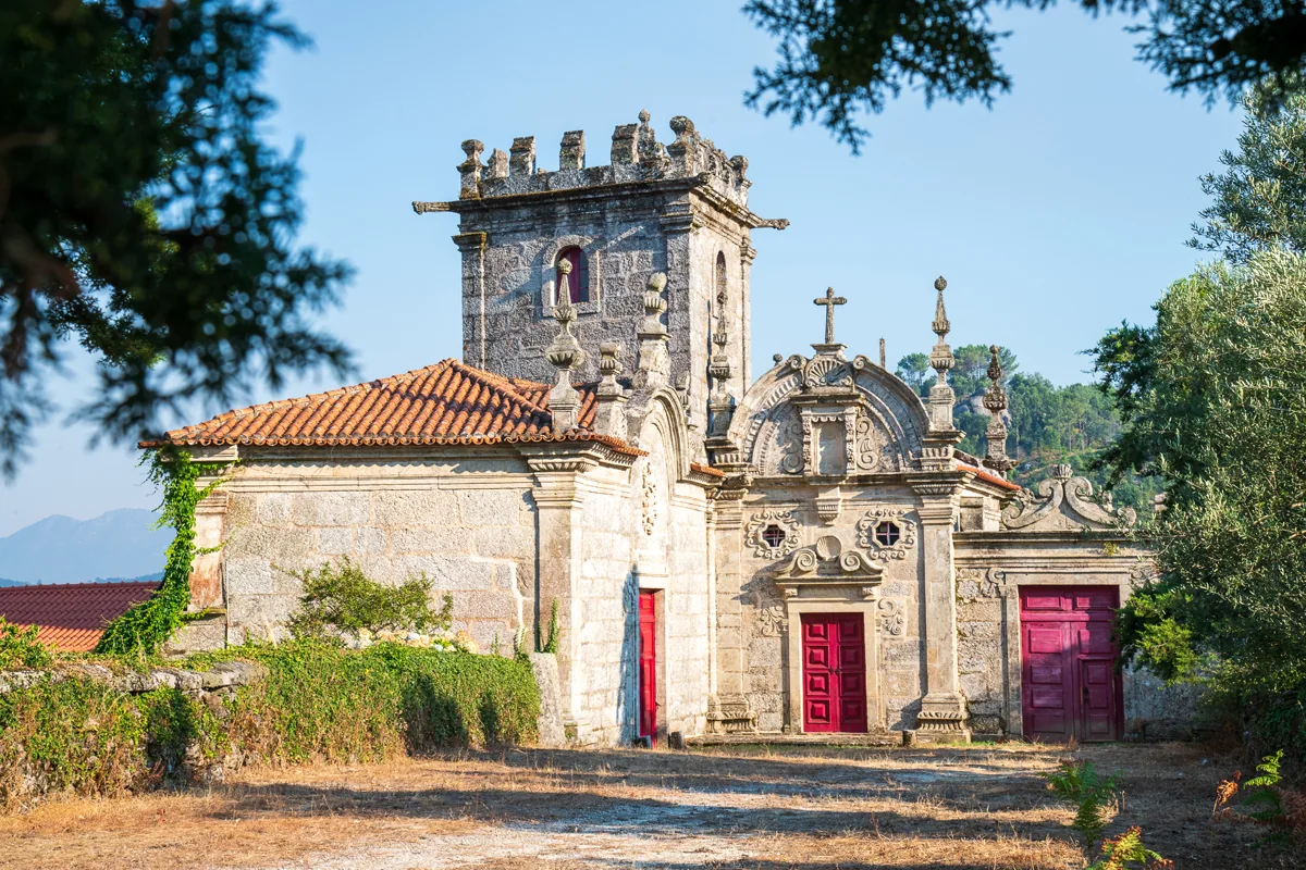
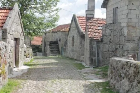
Abadim tower and adjoining buildings.
Source: Visit Cabeceiras — Município de Cabeceiras de Basto
Photograph date not stated.
Individual photographer and reuse licence not stated by the source.
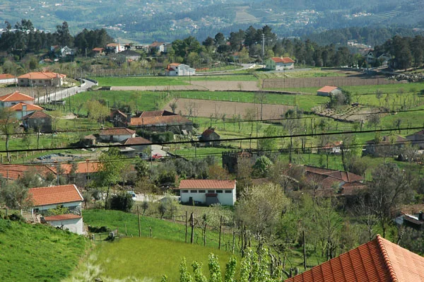
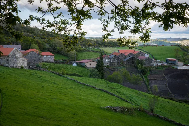
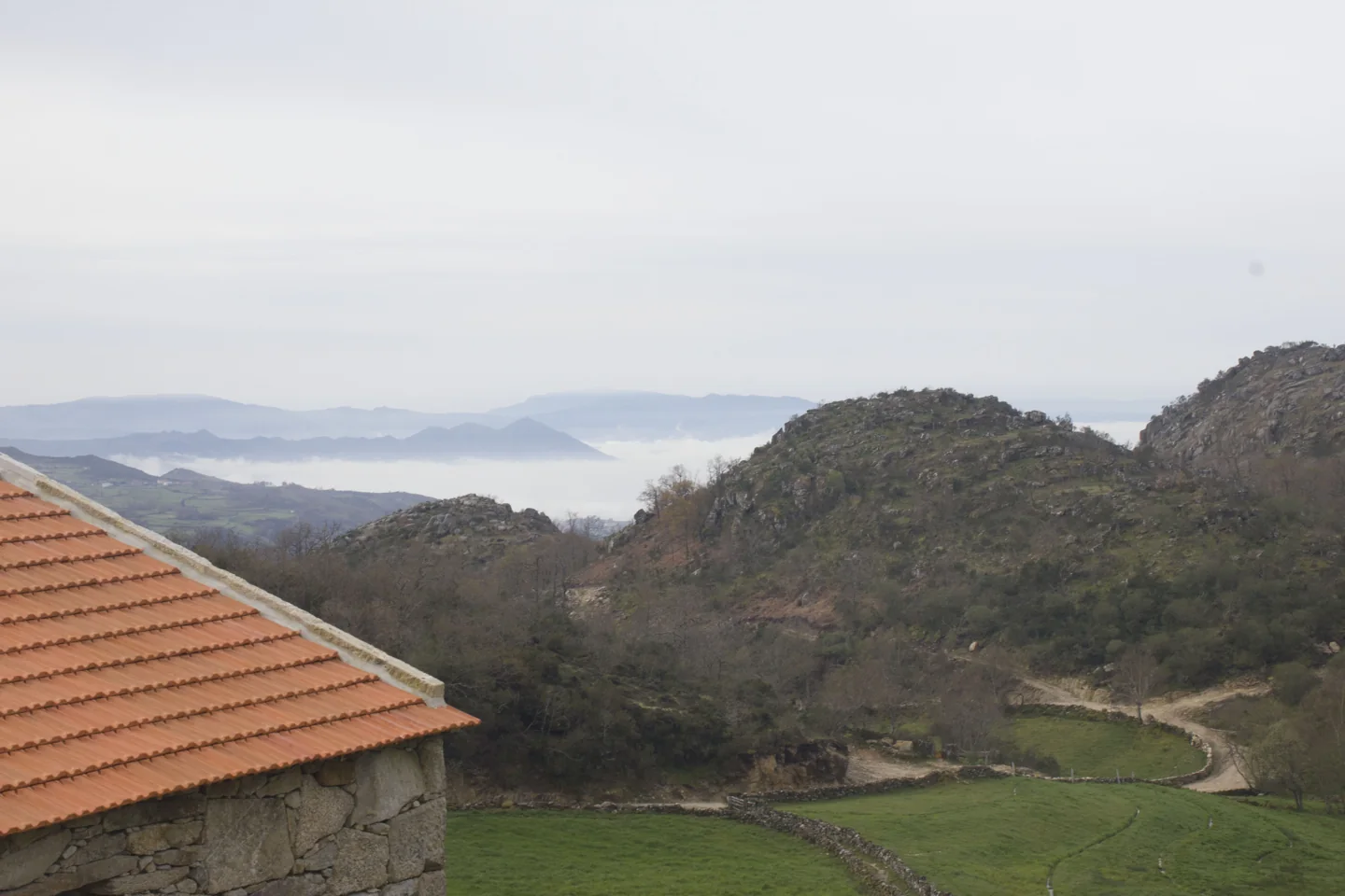
Fields and houses in Abadim.
Source: Carta Arqueológica de Cabeceiras de Basto
Photograph date not stated.
Autoria da fotografia e licença de reutilização não identificadas na fonte.
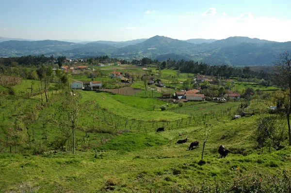
Fields and houses in Abadim.
Source: Carta Arqueológica de Cabeceiras de Basto
Photograph date not stated.
Autoria da fotografia e licença de reutilização não identificadas na fonte.
Outeiro dos Touros petroglyph.
Source: Carta Arqueológica de Cabeceiras de Basto
Photograph date not stated.
Autoria da fotografia e licença de reutilização não identificadas na fonte.
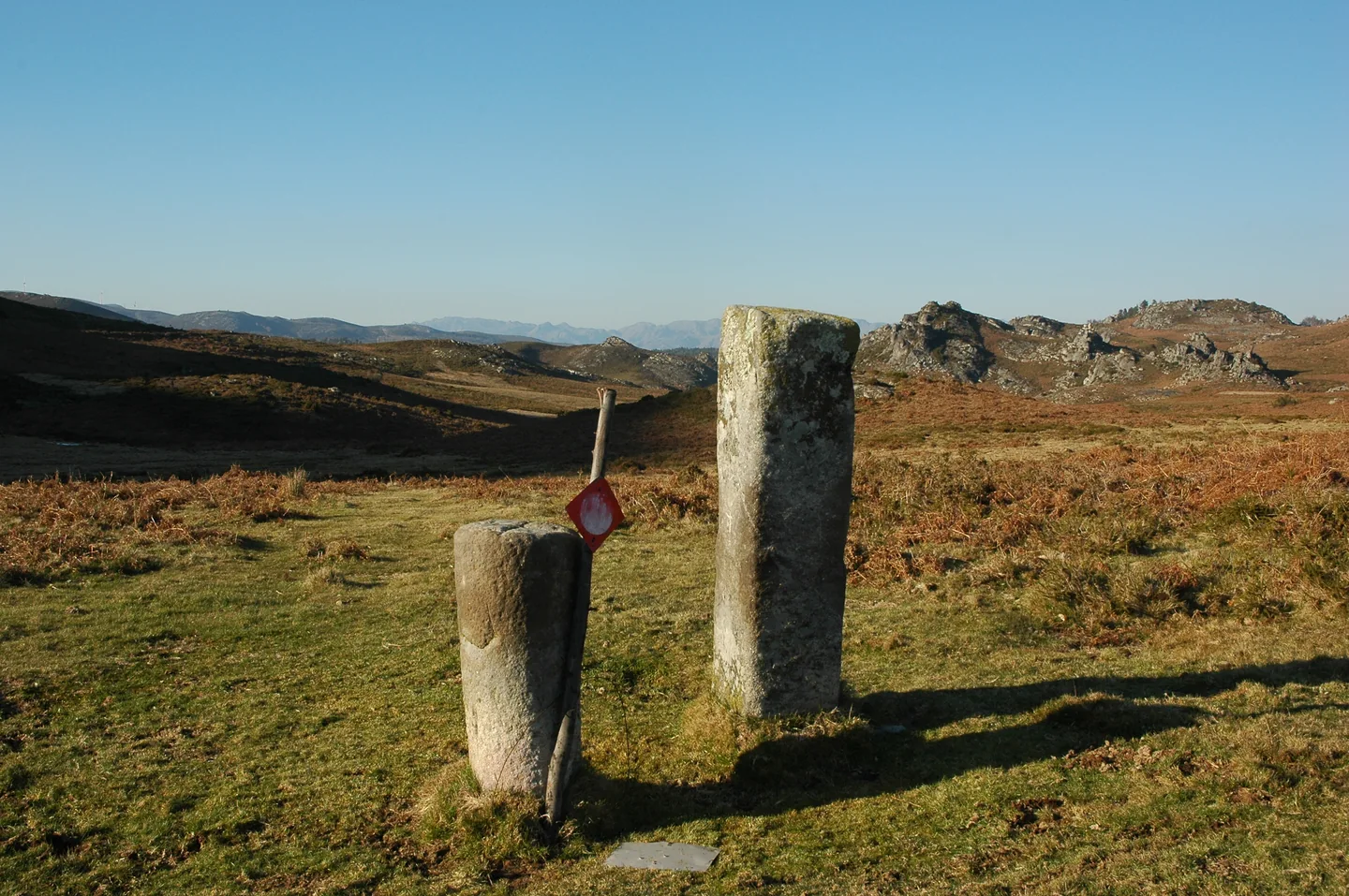
Outeiro dos Touros boundary stones in Torrinheiras.
Source: Carta Arqueológica de Cabeceiras de Basto
Photograph date not stated.
Autoria da fotografia e licença de reutilização não identificadas na fonte.
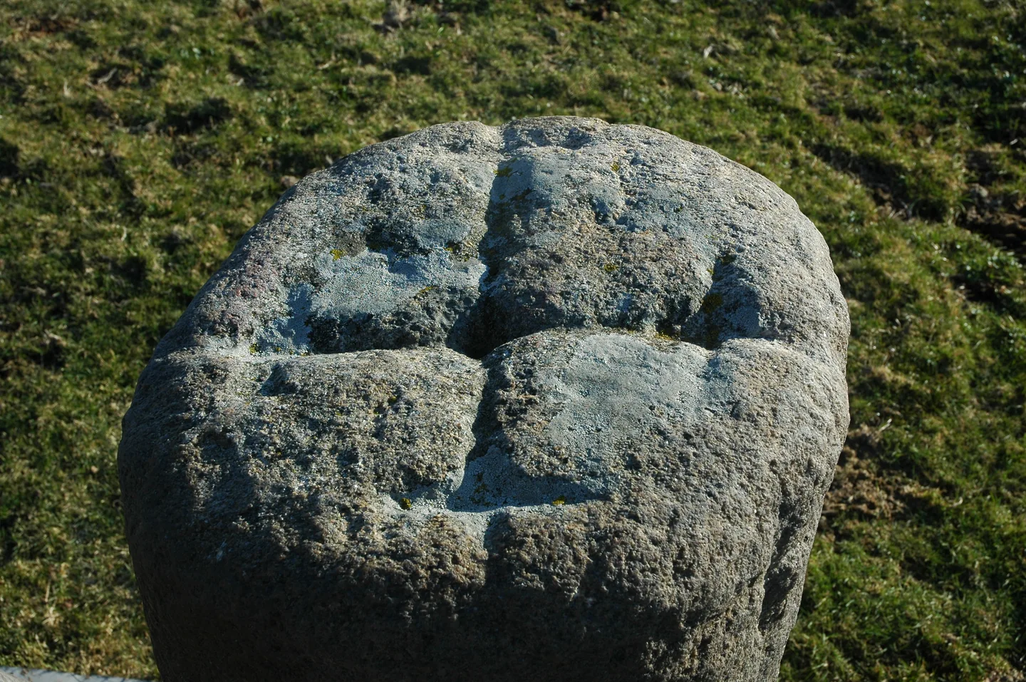
Outeiro dos Touros boundary stones in Torrinheiras.
Source: Carta Arqueológica de Cabeceiras de Basto
Photograph date not stated.
Autoria da fotografia e licença de reutilização não identificadas na fonte.
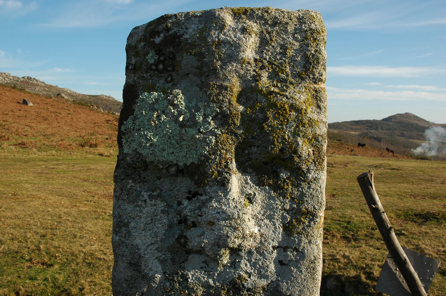
Outeiro dos Touros boundary stones in Torrinheiras.
Source: Carta Arqueológica de Cabeceiras de Basto
Photograph date not stated.
Autoria da fotografia e licença de reutilização não identificadas na fonte.
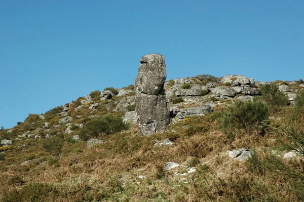
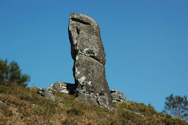
Penedo Longo in Torrinheiras.
Source: Carta Arqueológica de Cabeceiras de Basto
Photograph date not stated.
Autoria da fotografia e licença de reutilização não identificadas na fonte.
Penedo Longo in Torrinheiras.
Source: Carta Arqueológica de Cabeceiras de Basto
Photograph date not stated.
Autoria da fotografia e licença de reutilização não identificadas na fonte.
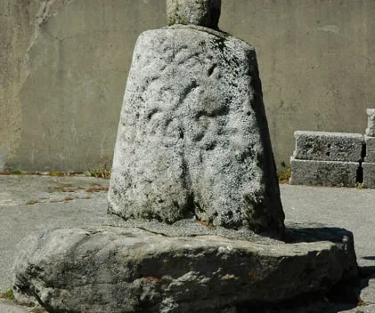
Wayside cross and base in Torrinheiras.
Source: Carta Arqueológica de Cabeceiras de Basto
Photograph date not stated.
Autoria da fotografia e licença de reutilização não identificadas na fonte.
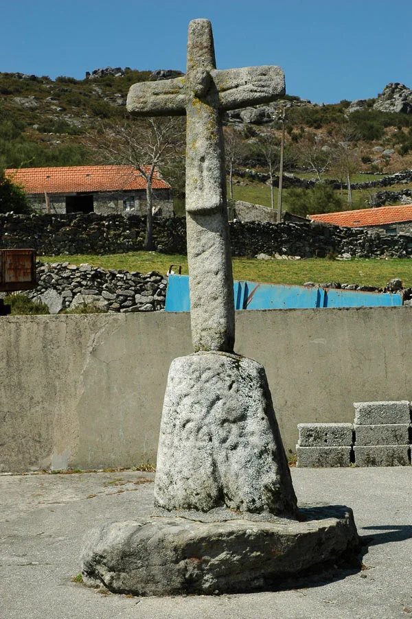
Wayside cross and base in Torrinheiras.
Source: Carta Arqueológica de Cabeceiras de Basto
Photograph date not stated.
Autoria da fotografia e licença de reutilização não identificadas na fonte.
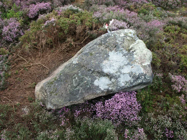
Engraved rock in the Marmoirais complex.
Source: Carta Arqueológica de Cabeceiras de Basto
Photograph date not stated.
Autoria da fotografia e licença de reutilização não identificadas na fonte.
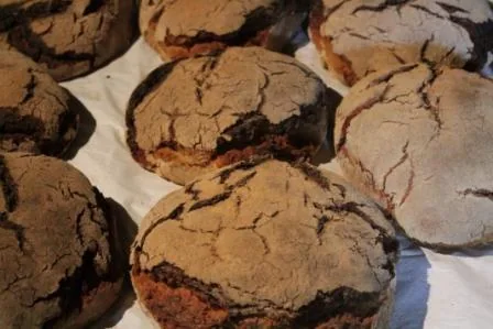
Maize loaves during the Travassô visit, in a record published in 2014.
Source: Museu das Terras de Basto
Photograph date not stated.
Autoria da fotografia e licença de reutilização não identificadas na fonte.
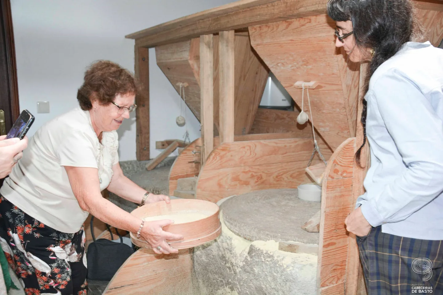
Demonstration beside the millstone at Moinho da Ponte Nova in 2026.
Source: Museu das Terras de Basto
Photograph date not stated.
Autoria da fotografia e licença de reutilização não identificadas na fonte.
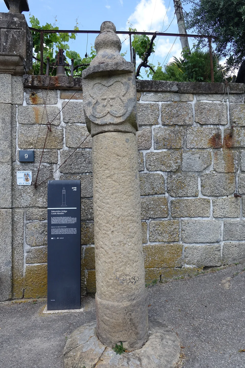
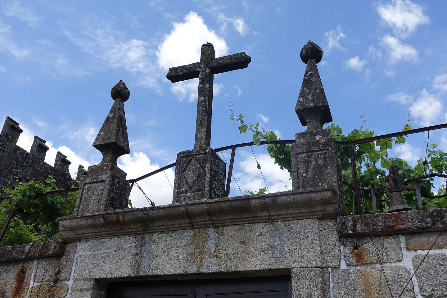
Abadim pillory, with a building and wall in the background.
Photography: Joseolgon · CC BY-SA 4.0
Date given at source: .
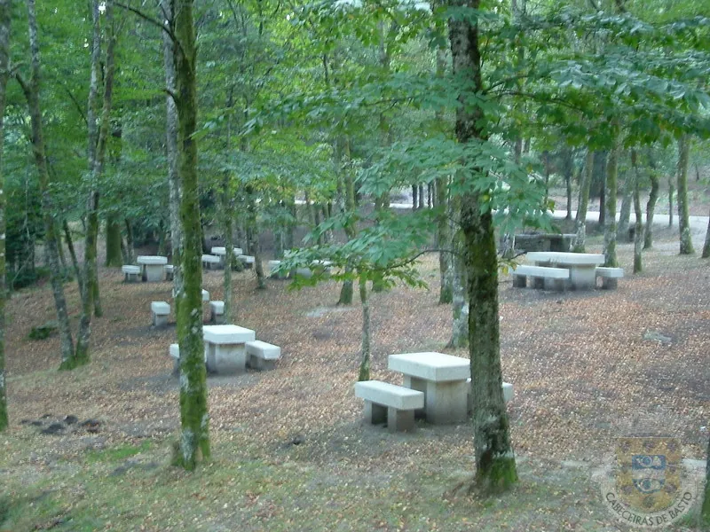
Área de Lazer de Víbora — photograph from the municipal gallery; capture date not indicated.
Source: Municipality of Cabeceiras de Basto
Photograph date not stated.
Autor e licença de reutilização não identificados na fonte.
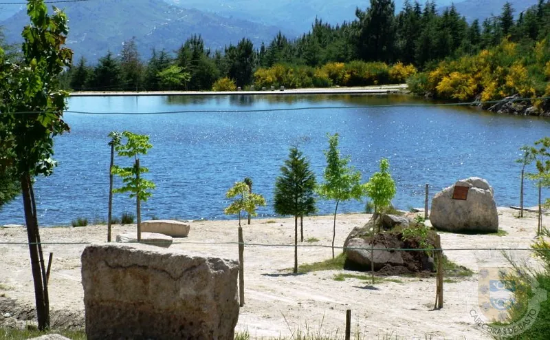
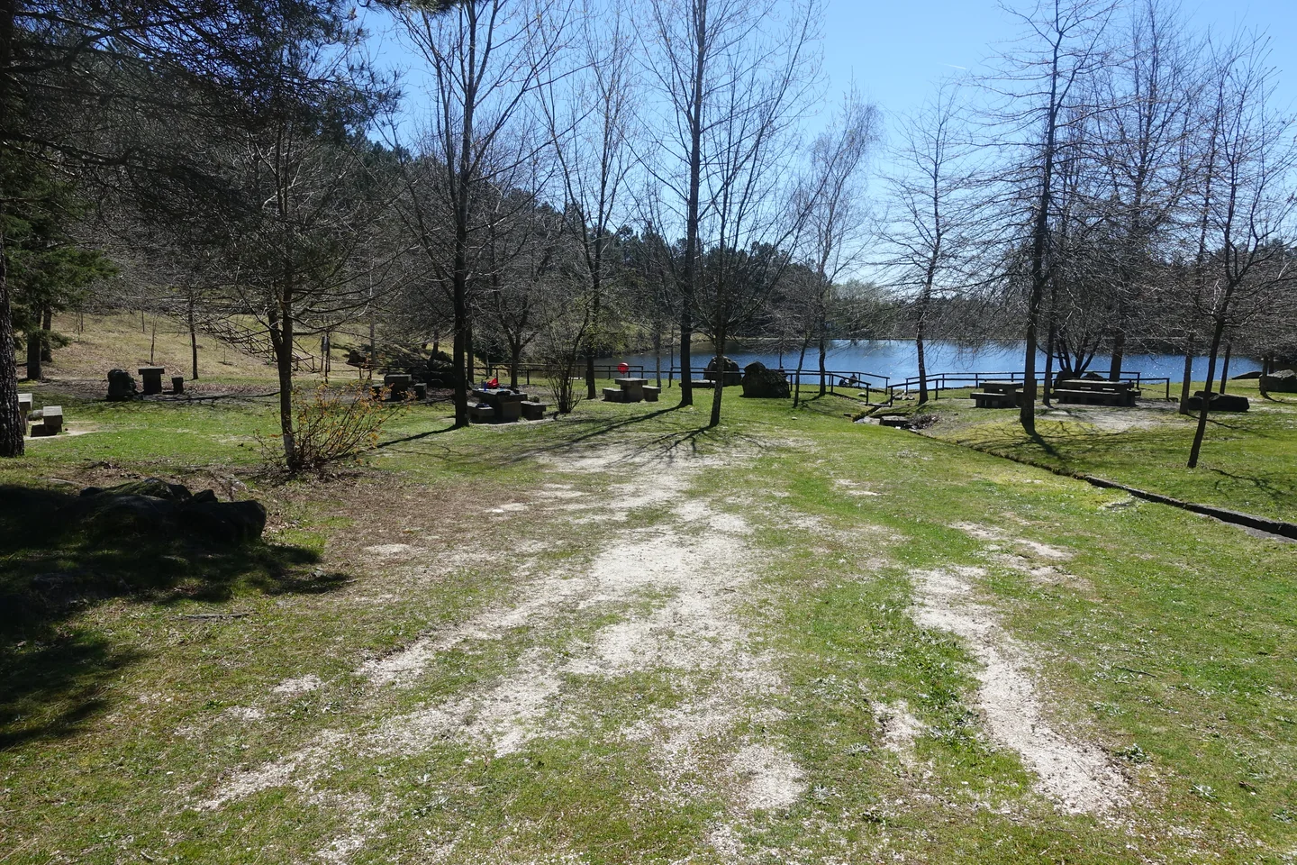
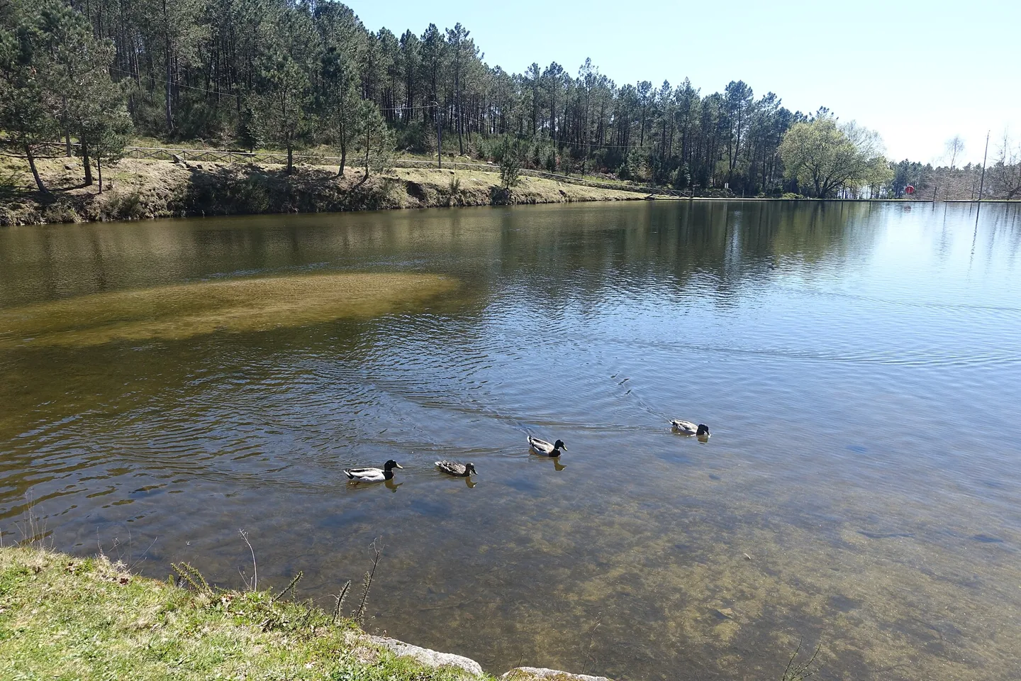
Área de Lazer do Oural — photograph from the municipal gallery; capture date not indicated.
Source: Municipality of Cabeceiras de Basto
Photograph date not stated.
Autor e licença de reutilização não identificados na fonte.
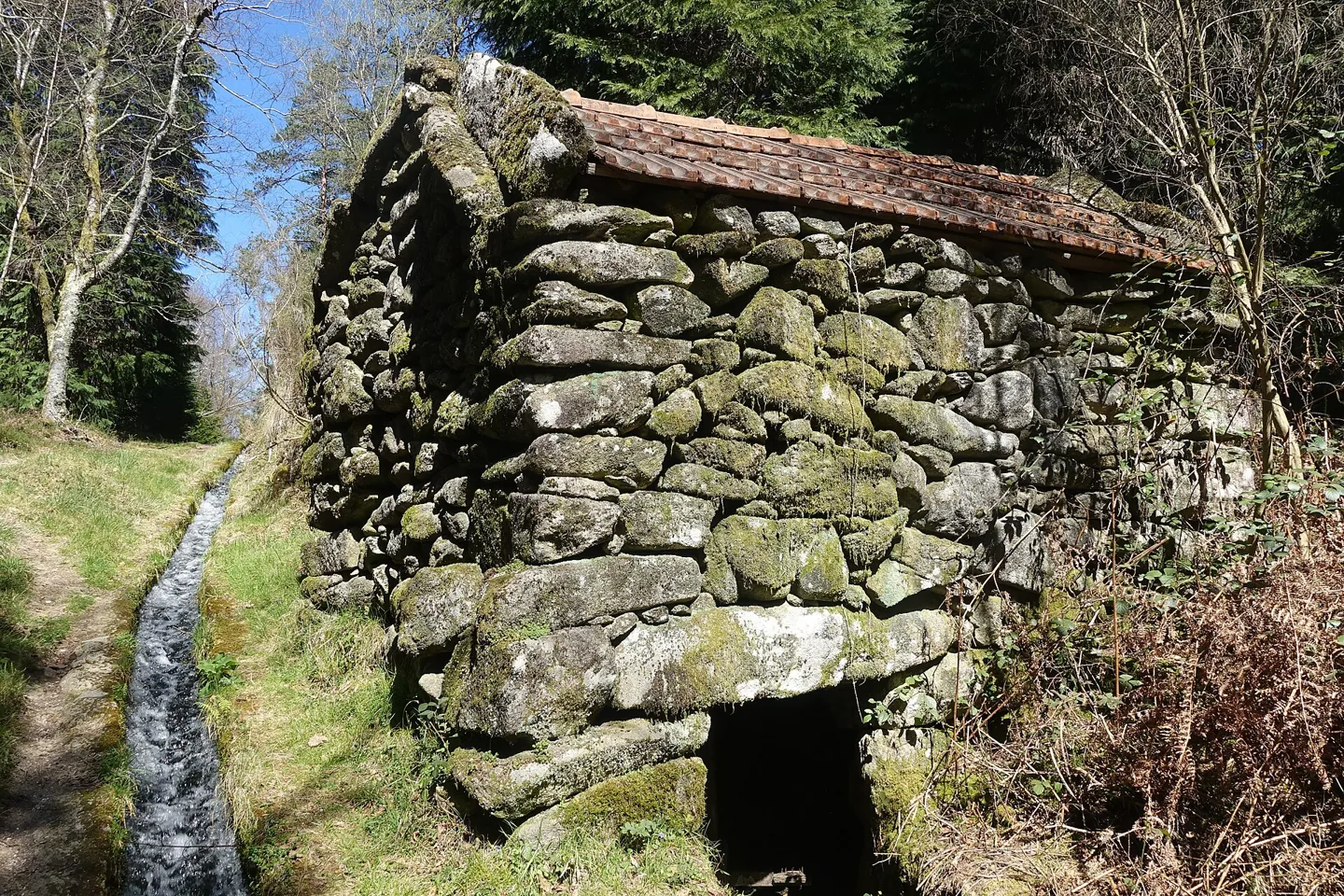
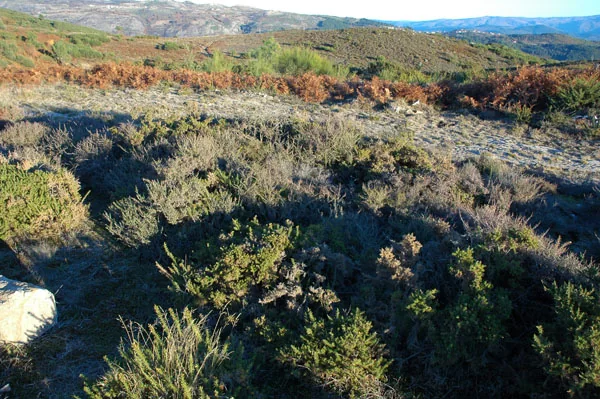
Area of the Marmoirais burial mounds.
Source: Carta Arqueológica de Cabeceiras de Basto
Photograph date not stated.
Autoria da fotografia e licença de reutilização não identificadas na fonte.
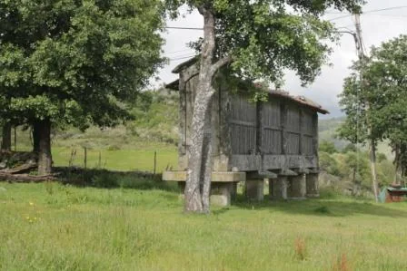
Granary in the photographs of the Travassô visit.
Source: Museu das Terras de Basto
Photograph date not stated.
Autoria da fotografia e licença de reutilização não identificadas na fonte.
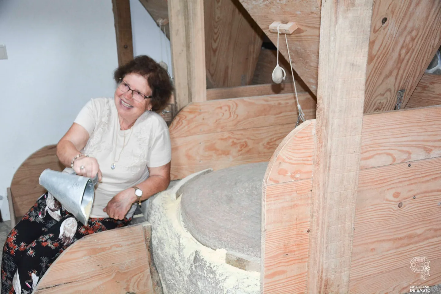
Visitors watch milling during the 2026 visit to Moinho da Ponte Nova.
Source: Museu das Terras de Basto
Photograph date not stated.
Autoria da fotografia e licença de reutilização não identificadas na fonte.
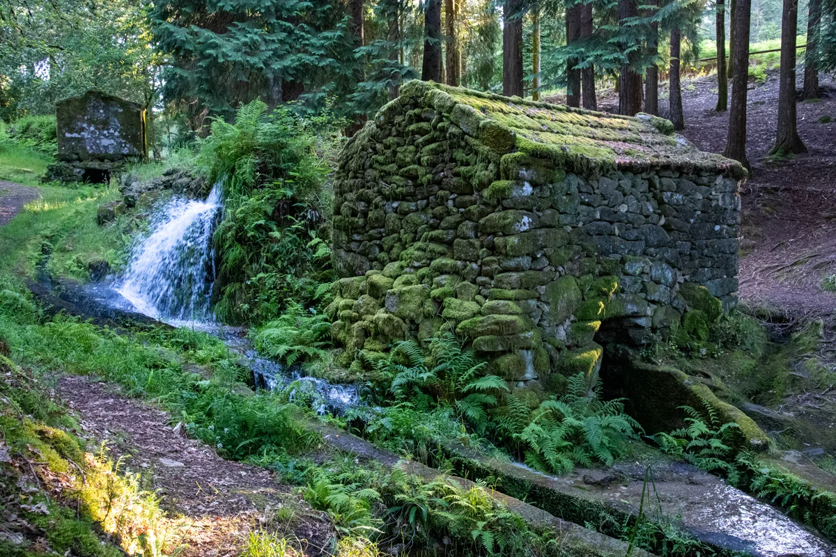
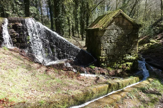
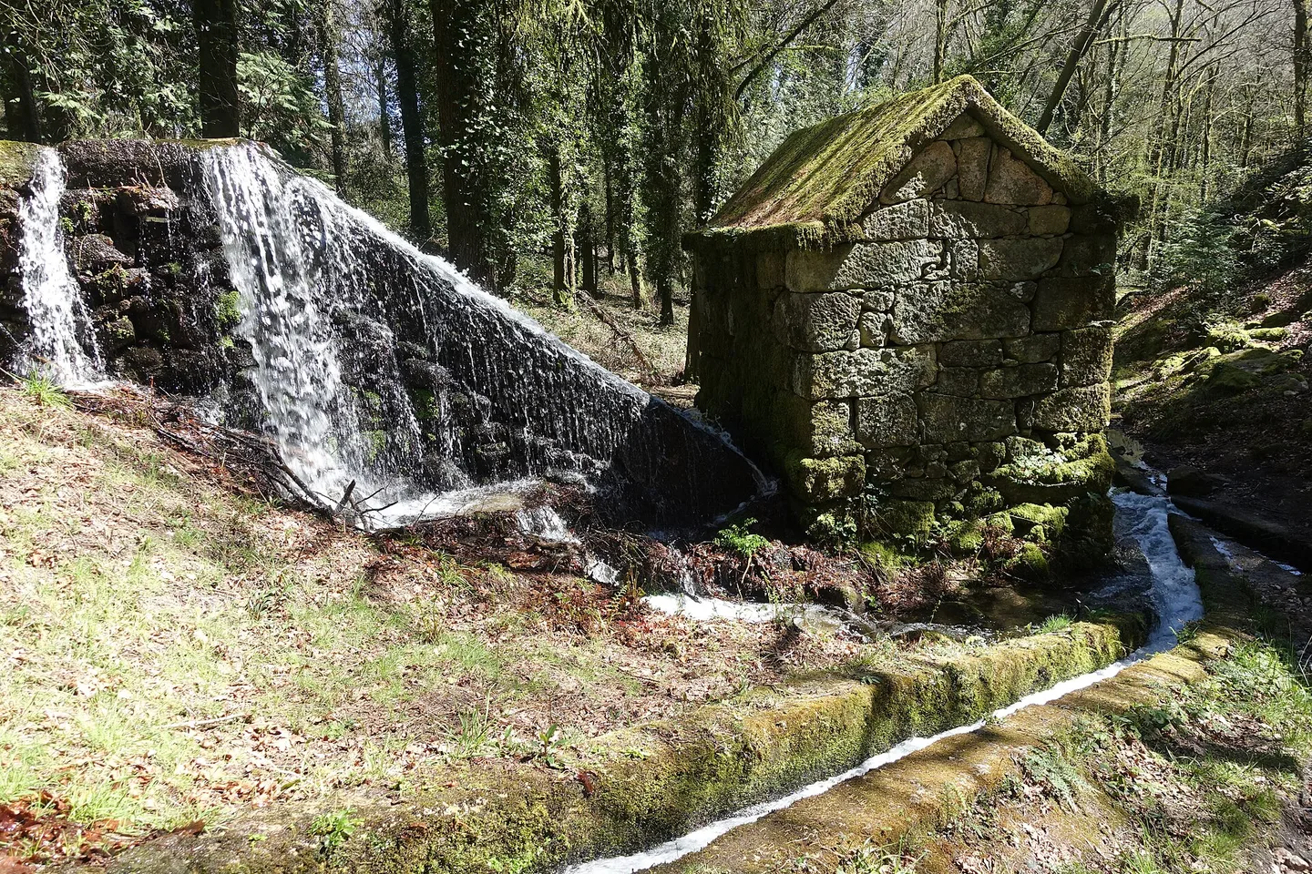
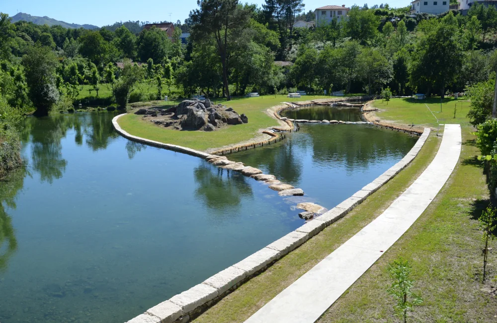
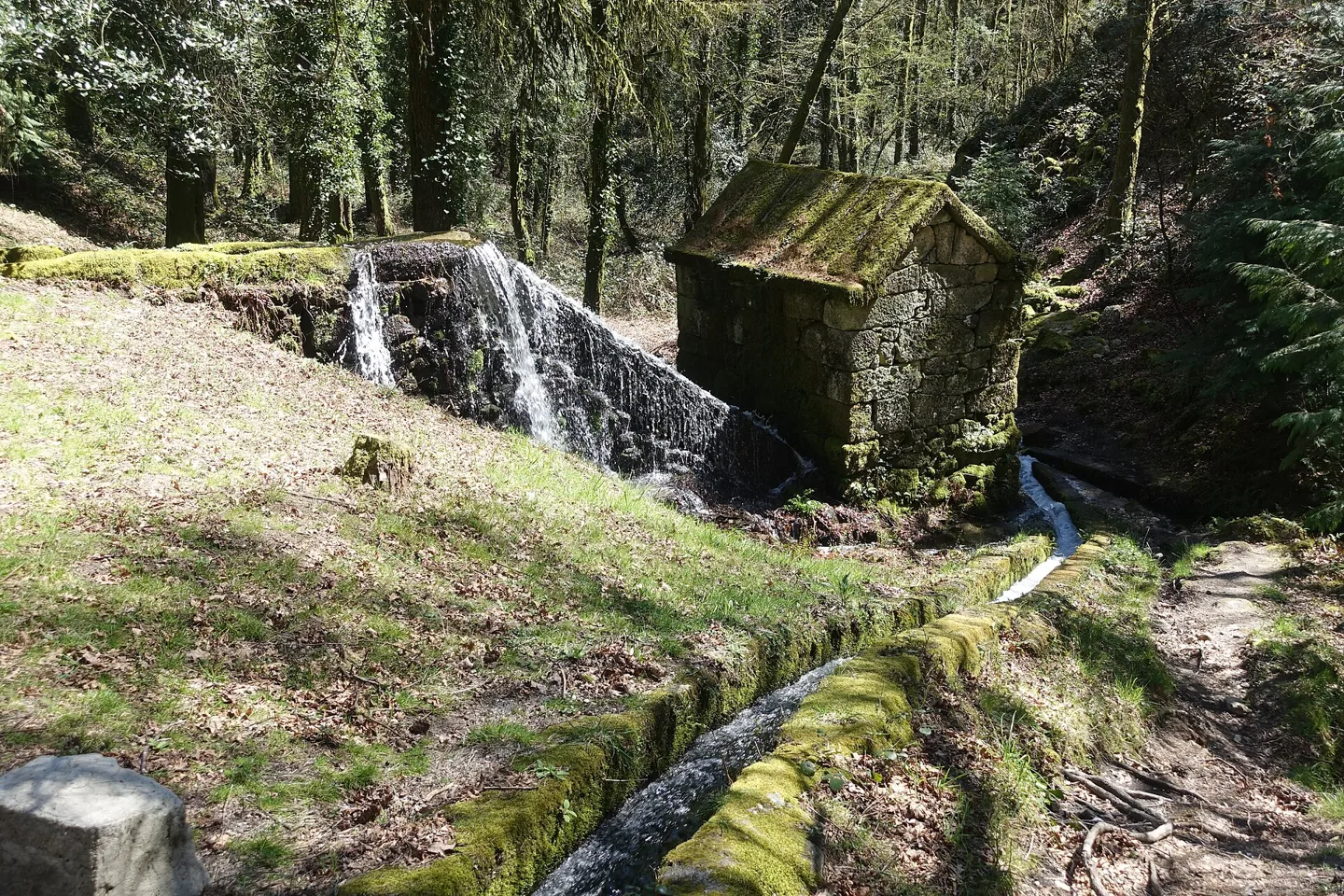
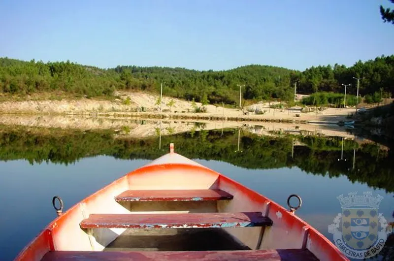
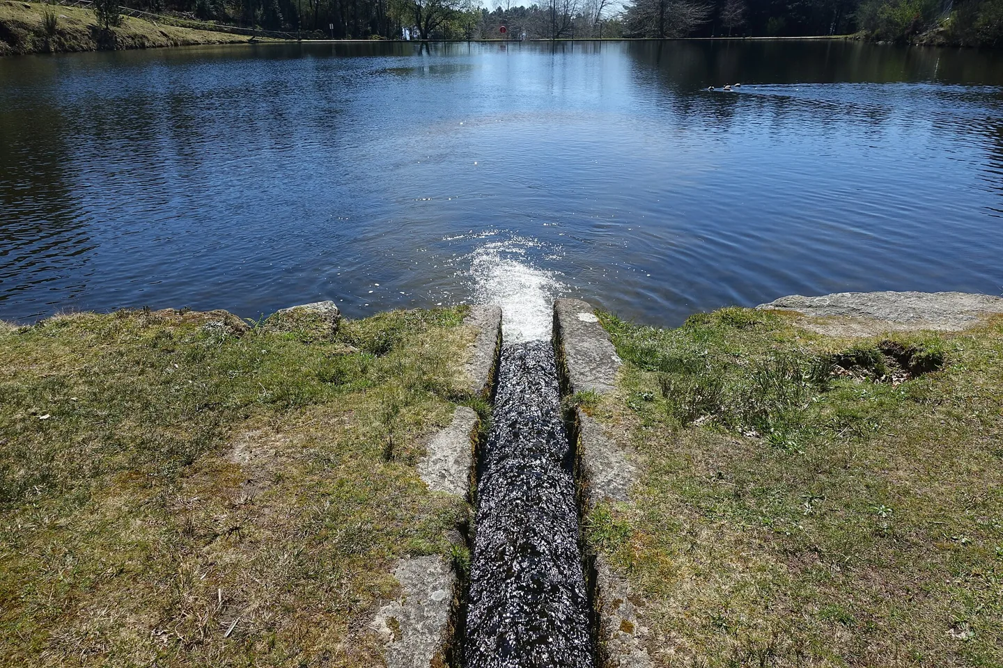
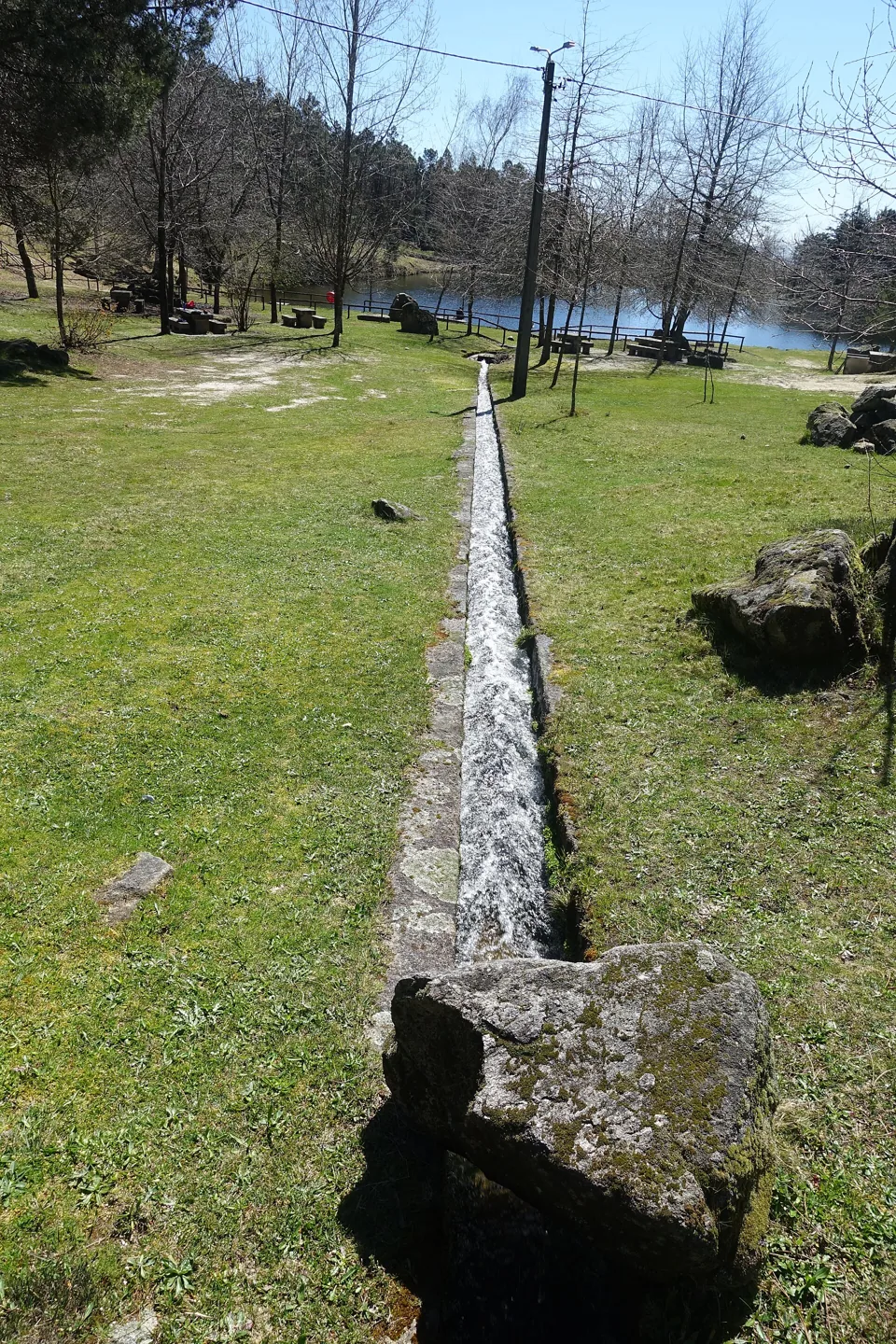
Moinhos de Rei among trees and water.
Source: Visit Cabeceiras
Photograph date not stated.
Individual photographer and reuse licence not stated by the source.
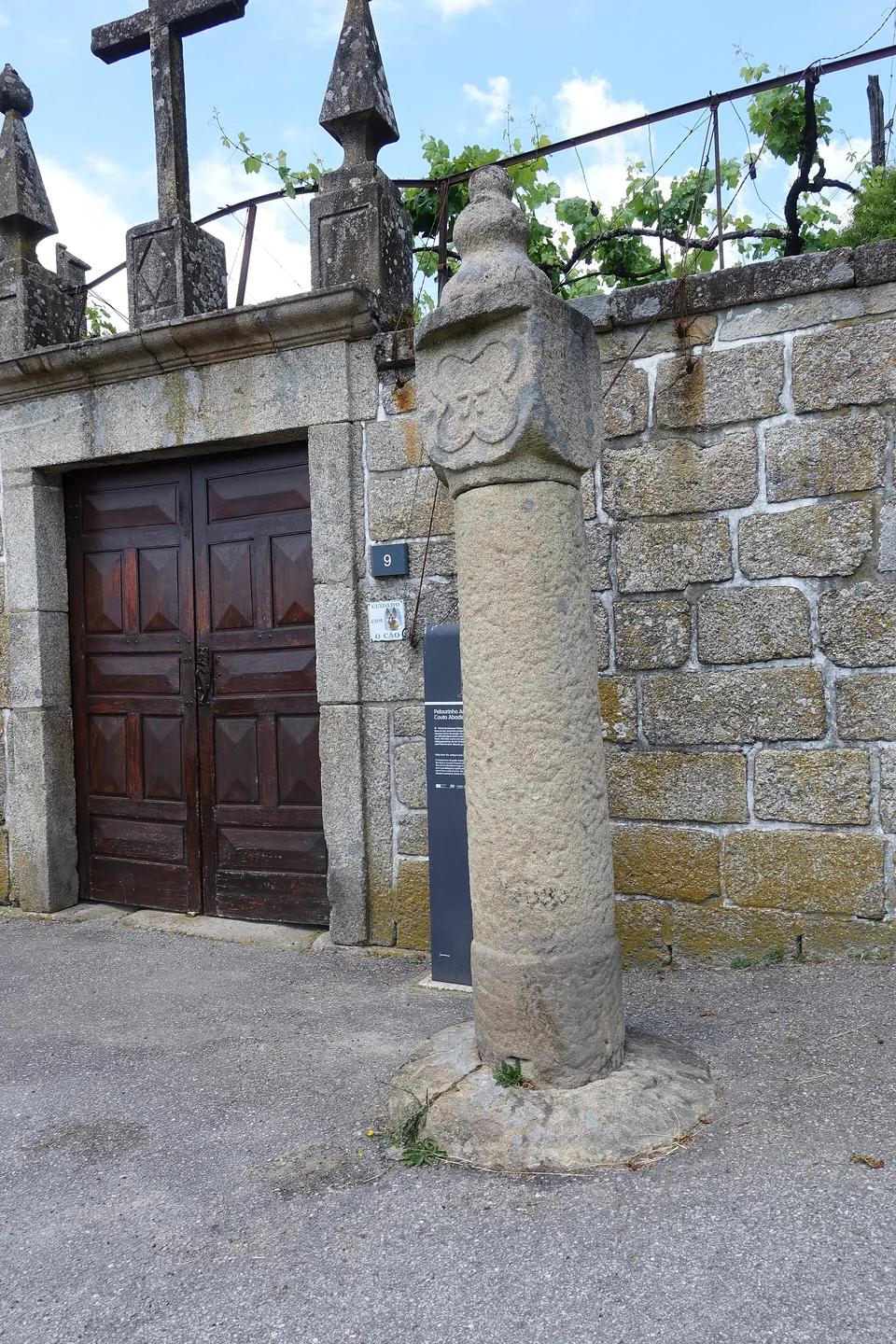
Detail of the column and finial of Abadim pillory.
Photography: Joseolgon · CC BY-SA 4.0
Date given at source: .
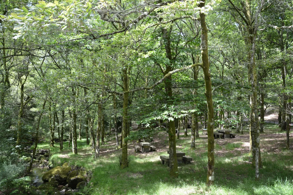
Área de Lazer do Oural — photograph from the municipal gallery; capture date not indicated.
Source: Municipality of Cabeceiras de Basto
Photograph date not stated.
Autor e licença de reutilização não identificados na fonte.
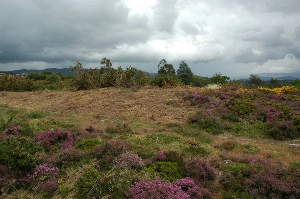
Area of the Marmoirais burial mounds.
Source: Carta Arqueológica de Cabeceiras de Basto
Photograph date not stated.
Autoria da fotografia e licença de reutilização não identificadas na fonte.
From the slopes of the Cabreira to the damp land of the Peio valley, Abadim changes with the terrain.
The Tower, the old couto’s pillory and Casa da Ramada recall powers and forms of organisation that predate the modern municipality.
Moinhos de Rei connects milling memories with the use of water.
Knowledge, landscapes and memories linked to this parish.
Choose from 14 activities here →
7 guides with stories from here → · To follow a story by chapters.
The Tower, fields and hills tell different parts of one story.
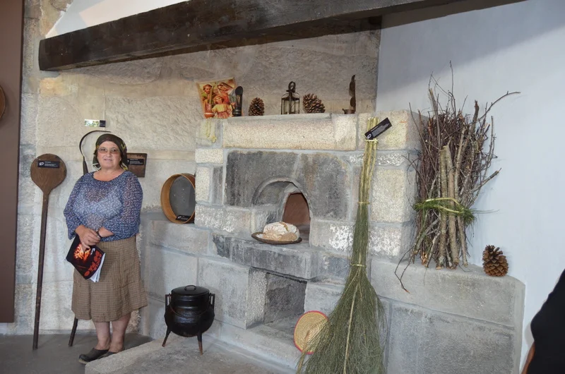
At the Casa do Pão, the story begins with grain.
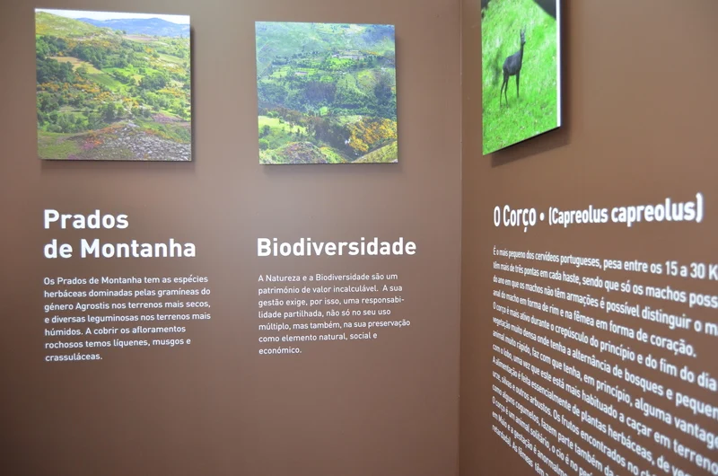
Learn about Cabreira before heading into the countryside.
Two boundary stones, two shapes and several clues carved in stone.
Penedo Longo invites a second look.
At the Torrinheiras cross, it is worth looking down.
António José Mendes whistled and wrote down his ideas.
In Travassô, memory reached the table too.
At Ponte Nova, visitors came close to the work of the mill.
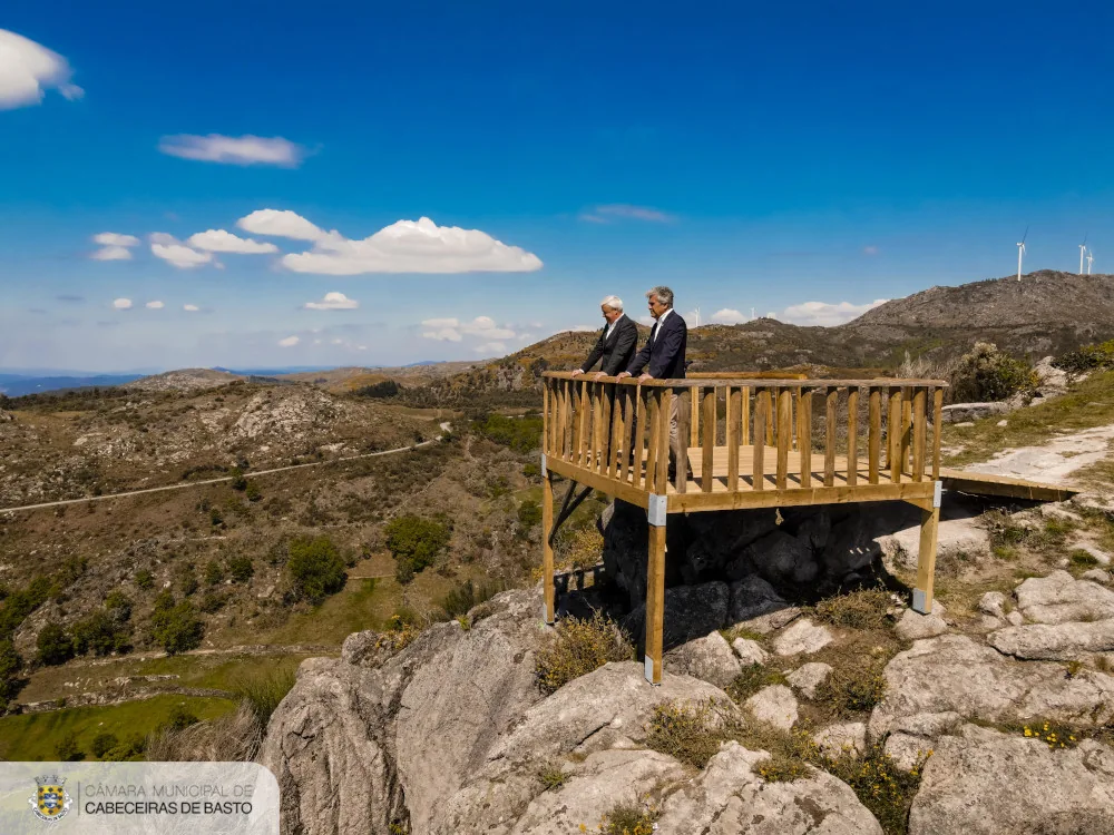
Porto d’Olho became part of a viewpoint network.
The village can also be understood through houses and mountains.
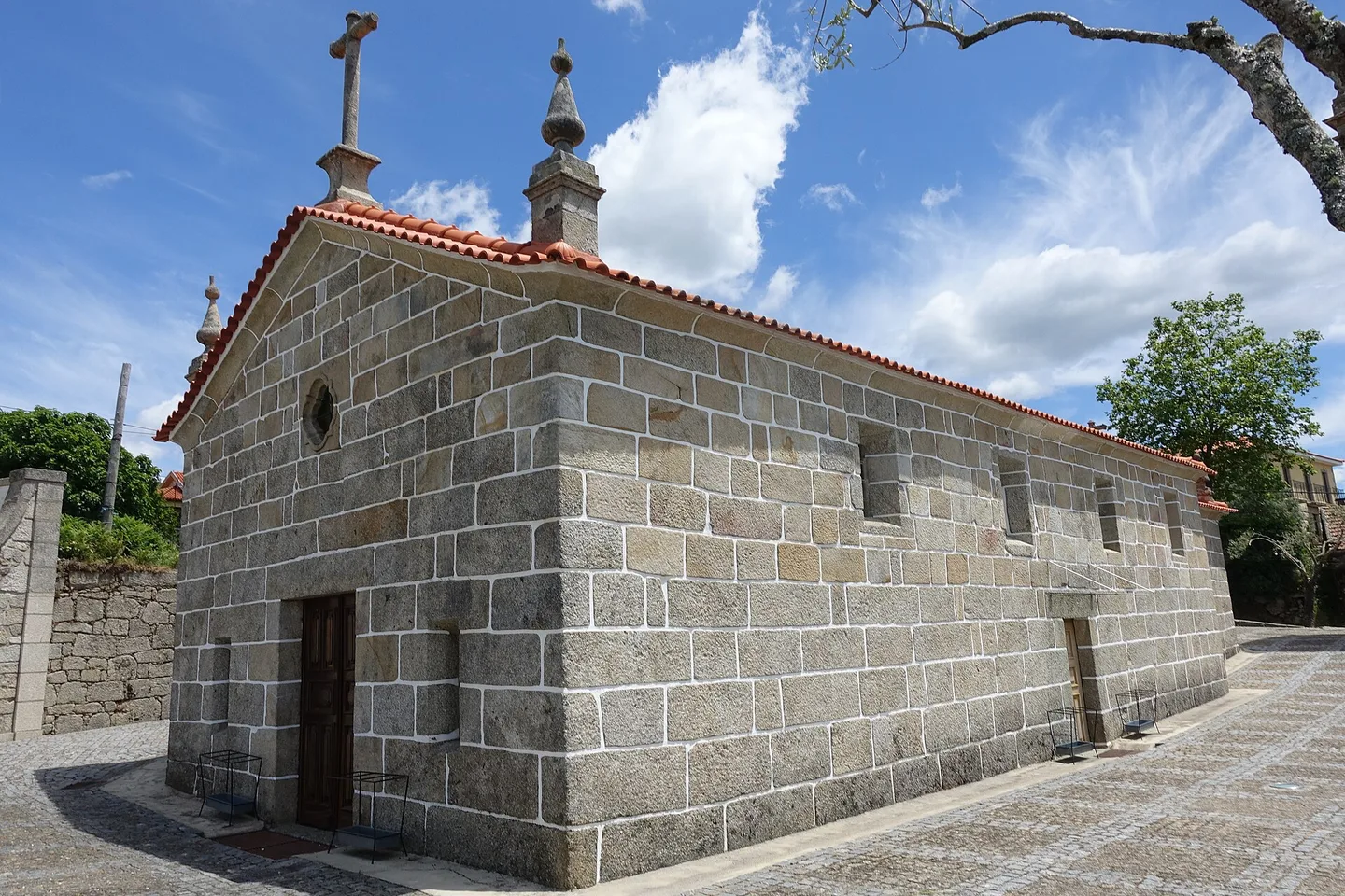
A small chapel from 1980 tells a story of attachment to home.
On a wayside cross's pedestal, the stone reads 1720.
Before electricity, flowing water already powered local work.
In 1758, the cold separated two farming landscapes.
Males and females have different colours, but share wing markings.
From sunset to sunset, a community rule.
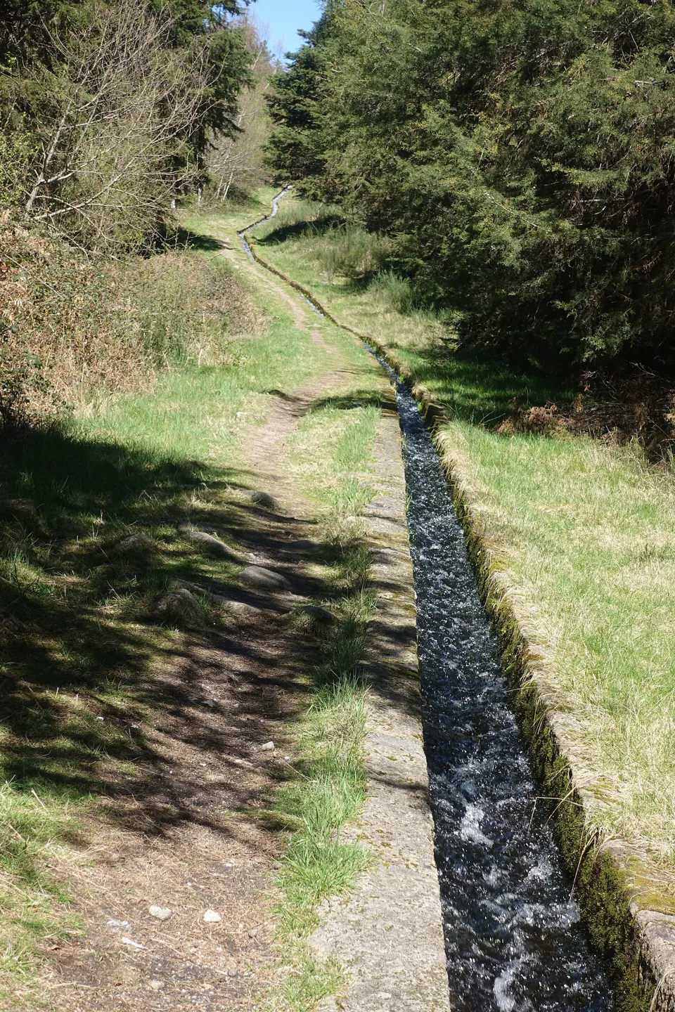
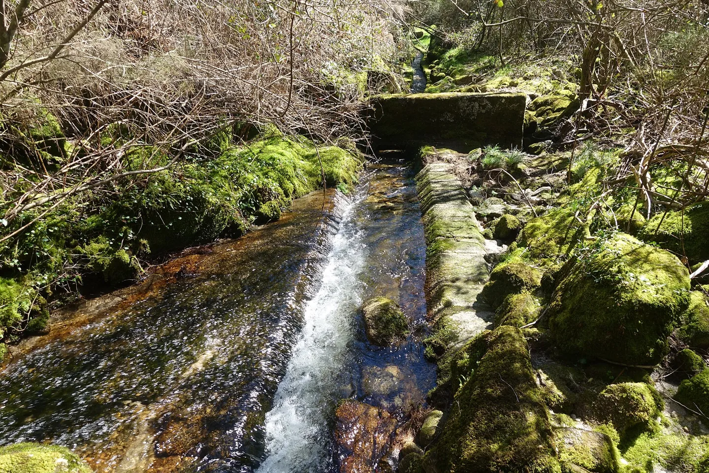
The Levada de Víbora brings nature and human work together.
In Torrinheiras, the landscape begins at altitude.
At Ranha, restoring the river also meant choosing materials.
Even a little water could keep a landscape moving.
A photograph captures only one moment in a mushroom’s life.
The upper and lower surfaces tell different stories.
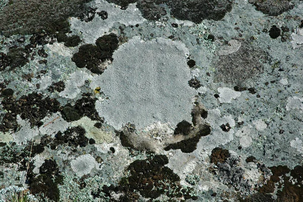
Among the mosses, a lichen deserves a second look.
A lichen’s raised structures bring relief to the rock.
Cloths and bedspreads are heritage too.
In Bucos and Abadim, Jogo do Pau is heritage too.
October 1514 left two marks on the territory.
Rome also changed how land was occupied.
Marmoirais brings together ancient tombs and engravings.
Moinhos de Rei preserves a story of water, grain and income.
The Marcos do Touro help us read territorial boundaries.
History can be read in windows and corners too.
A small monument holds a history of autonomy.
At Casa da Ramada, doors preserve clues from different periods.
Observations of citizen science with location published in this parish, crossed with the limits CAOP2025. They are not visiting points or independent confirmation in the field.
A cap that catches the eye
See observation Birds · 06/02/2022Colour among fallen leaves
See observation Fungi · 31/01/2025Small fans on wood
See observation Fungi · 31/01/2025A surface of lobes and contours
See observation Fungi · 31/01/2025Texture on the rock
See observationNo events in our calendar for this parish. Discover other ideas.
Rua da Veiga, 148, 4860-011 Abadim
Monday, Wednesday and Friday: 20h30–21h30.
Opening hours published by the source · 15/11/2026. View opening-hours source
Moinhos de Rei · Casa do Pão
Explore this theme across the municipality 2 places in this parishTrilho de Torrinheiras · Trilho da Levada de Víbora
Explore this theme across the municipality 1 place of this parishCasa do Pão
Explore this theme across the municipality 3 places in this parishMoinhos de Rei · Casa do Pão · Núcleo Interpretativo de Vida Selvagem
Explore this theme across the municipality 3 places in this parishÁrea de Lazer do Oural · Área de Lazer de Víbora · Zona de Banhos da Ranha
Explore this theme across the municipality