Stones marking a boundary
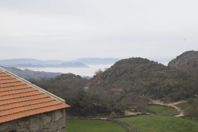
The Marcos do Touro help us read territorial boundaries.
Text size
Your choice is saved only in this browser.
In the trail description, the municipality presents these old boundary stones as witnesses to the division between Cabeceiras de Basto and Montalegre, and between Minho and Trás-os-Montes. They offer a tangible way to find in the landscape a boundary we usually see only drawn on a map.
A boundary marker and a map represent a limit differently: one occupies a point on the ground; the other shows a line on a surface. Try drawing and labelling both. An isolated stone is not enough to identify a historical marker: that connection needs the site description or other documentation.
Explore further: words and activities
Explore this story
Source and context
Municipality — Trilho de Torrinheiras, altitude, landmarks and landscape
Accessed: . Editorial summary; the date of consultation is not the date of the facts.