Nature and landscape
ⓘMoinhos de Rei
Mills and scenery in Abadim: discover the heritage of grain milling.
AbadimBetween the Tâmega, the Cabreira, the mills and the banks, read a moving landscape.
Summary: about 2 min. Open the readings to deepen each chapter at its pace.
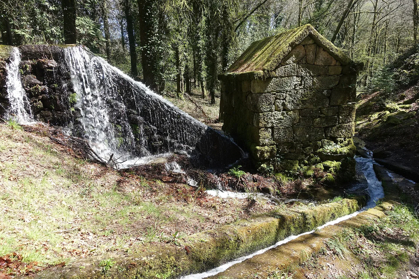
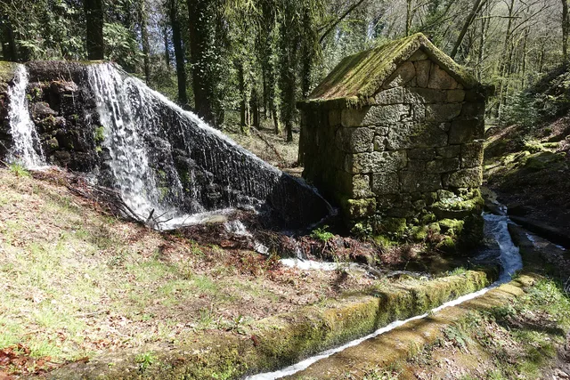
A mill and the water channel at Moinhos de Rei.
Moinhos de ReiⓘThe Tâmega helps to situate the municipality, while Cabreira, Barroso and Lameira appear in the descriptions of the territory. These names are a starting point to understand valleys and slopes. A landscape reading explains relationships; the choice of a path also requires consulting the form and the conditions of the route.
The Peio connects to the memory of the grinding. In the levadas, the path of the water approaches devices and fields: observing a water outlet, a channel or a mill allows you to ask how the movement was harnessed. It is not necessary to imagine that all ancient elements continue to work to understand this system.
Imagine two portraits written that same year. In Alvite, the vicar described in 1758 small springs in the Serra da Orada, whose waters were kept in prey to water. The lack of mills led residents to look for grinding in other parishes, and olive oil mills used animal force.
In Santa Senhorinha, the abbot described a river that ran all year long, although with little water in the summer, and identified mills and mills in places of the parish.
The two memories show different answers to the relationship between water, work and displacements. Try drawing two columns: where water was stored, what moved the devices and what works depended on these resources? Santa Senhorinha's description was signed on 23 May: the summer mentioned is a pattern reported by the author. These documents help compare the past; they do not identify equipment currently visitable or confirm the conditions today.
The trees and vegetation of the banks are part of the river environment. Reading the rivers Peio, Gold and the riverside of Cavez adds names to the landscape; that of the riverside forests helps to look at the connection between water and land. Compare the environments without turning a historical reference into a current description of each bank.
Open each form to consult contacts and visiting conditions. This selection is not an itinerary.
Mills and scenery in Abadim: discover the heritage of grain milling.
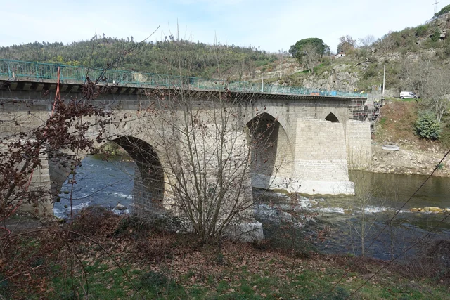
AbadimFive arches over the Tâmega and centuries of change on a medieval bridge.
CavezA break beside the Gondiães stream, in a leisure area described by the local parish council.
Gondiães e Vilar de CunhasThe Beça river runs alongside this riverside leisure area in Torneiro.
Gondiães e Vilar de CunhasThese plans include places mentioned in the guide. Open the chips to confirm access and conditions; they are not calculated routes.
Freguesias associated with source readings. This list does not define a visit path.