Two rivers tell a parish’s story
The 1758 account describes Rio Douro between east and west.
120 stories
The 1758 account describes Rio Douro between east and west.
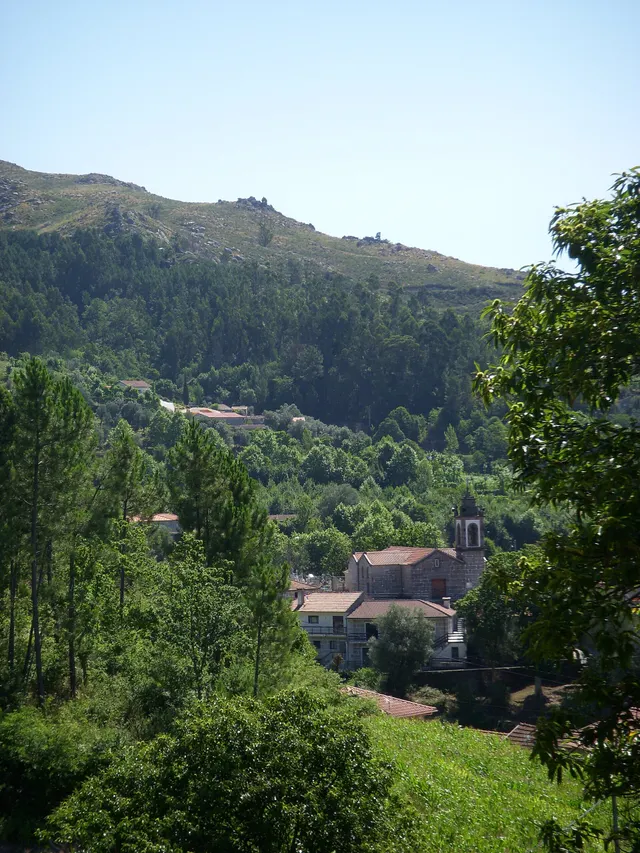
Two names help you read the municipality’s south-west.
In Outeiro, the Trutas joins the Peio.
Water connected mountains, mills and fields.
A cultivated riverbank tells history too.
A document lets us follow water between parishes.

Trees along the banks are part of the waterscape.
Nearby water was not always accessible water.
Near the Tâmega, the ground holds another story.
What happens on the land can travel with the water.
A river that helps explain the south of the municipality.
The rivers belong to a larger network.
A Rio Douro project reveals different roles within one landscape.
A river connected fields, weirs and mills.
Crossing the river was part of everyday life.
Irrigation channels linked river flows to work in the fields.
One river, different kinds of work.
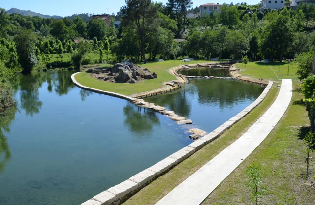
At Ranha, restoring the river also meant choosing materials.
An old document also describes life in the rivers.
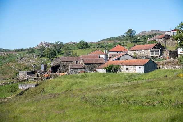
Mountain houses, a stream and a name that stays with you.
From sunset to sunset, a community rule.
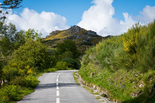
Three names to help you read the landscape.
Water also shapes work in the fields.
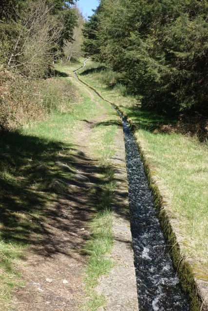
The Levada de Víbora brings nature and human work together.
A curiosity of this selection, at random.