Two rivers lost their names
Water connected mountains, mills and fields.
443 stories
Water connected mountains, mills and fields.
Small springs helped irrigate the fields.
Houses, hillside and water shape the village landscape.
One river, different kinds of work.
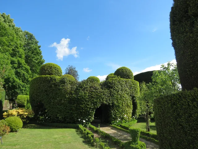
Among the clipped shrubs, there are other paths to follow.
Before paths and houses, there was a landscape of rock.
Vila Nune and Gondiães reveal another part of the geological map.
The rivers belong to a larger network.
Look at Cabeceiras from north to south.
Near the Tâmega, the ground holds another story.
Wolframite and cassiterite are part of Cabeceiras’s geological picture.
A document lets us follow water between parishes.
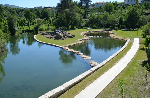
At Ranha, restoring the river also meant choosing materials.
A Rio Douro project reveals different roles within one landscape.
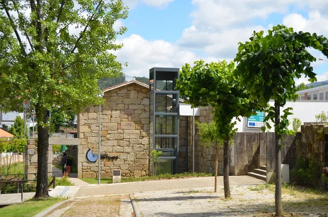
Renewing the town centre also involved water.
An old document also describes life in the rivers.
A seemingly uniform rock can reveal differences up close.
A rock’s age and a landscape’s shape are different questions.
The map of water resources does not end at the surface.
One landscape brings together different uses.
The same place tells different stories throughout the year.
Even a little water could keep a landscape moving.
What happens on the land can travel with the water.
In Gondiães, storing and directing water was collective work.
A curiosity of this selection, at random.