Compare altitudes
Toasters · Abadim
A village above a thousand metres
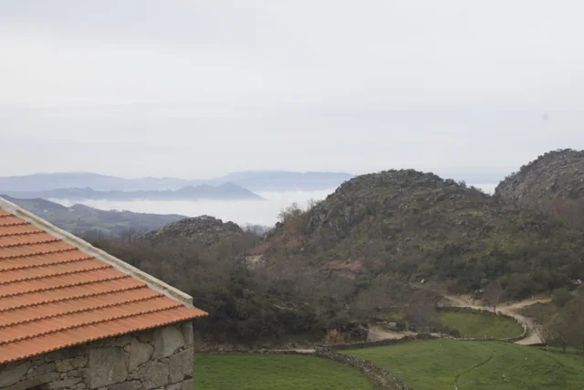
The municipality presents Torrinheiras, in Abadim, as its highest settlement, at around 1020 metres. The trail climbs into the hills and reaches 1159 metres. These are two distinct altitude references: the village and a point on the route, not the walk’s cumulative ascent. The panorama description names Gerês, Alvão, Marão and Barroso. Lower down, it mentions the Busteliberne stream, Porto d’Olho and, on the return, meadows and grazing Barrosã and Maronesa cattle. The mountains therefore tell a story of distances and views, but also of water, villages and work. Visibility and trail conditions need to be assessed when visiting. The mountain can also be read close up. Alongside the distant panorama, the description mentions meadows and livestock: clues to land use, not merely decorative details. In a drawing, separate the horizon from the worked land. A simple next question is: which parts of this landscape depend on people’s work?
Vamos experimentar?
- Make 1020 and 1159 on a numerical scale starting at 1000.
- It associates each mark to the village or to the point of the hill described by the Municipality.
- Calculates the difference between the marks and distinguishes it from the entire climb of a route, which can have several descents and climbs.
A paper comparison; it does not calculate the difficulty or accumulated slope of the track.
Open a história e os seus recursos →Sources of this proposal
- Municipality — Trilho de Torrinheiras, altitude, landmarks and landscapeConsultation/revision: 2026-11-07
My findings
An idea, a drawing or a question to go on.