In summer, the water took other paths
Irrigation channels linked river flows to work in the fields.
19 stories
Irrigation channels linked river flows to work in the fields.
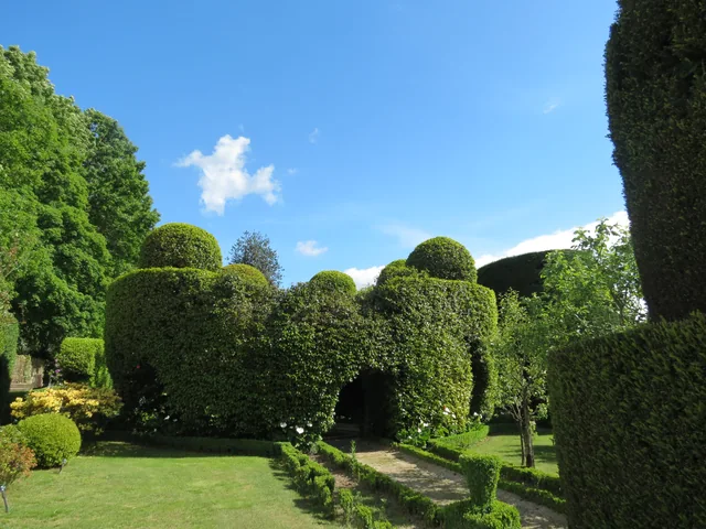
Among the clipped shrubs, there are other paths to follow.

Trees along the banks are part of the waterscape.
A river that helps explain the south of the municipality.
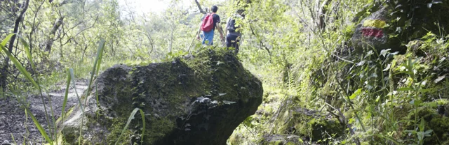
A stream helps explain an entire landscape.
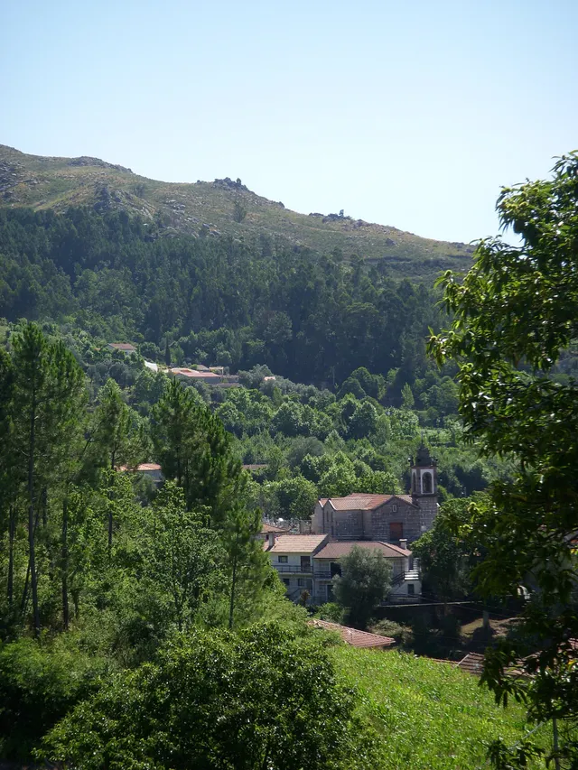
Two names help you read the municipality’s south-west.
The 1758 account describes Rio Douro between east and west.
Water connected mountains, mills and fields.
Small springs helped irrigate the fields.
Before paths and houses, there was a landscape of rock.
Vila Nune and Gondiães reveal another part of the geological map.
Look at Cabeceiras from north to south.
Wolframite and cassiterite are part of Cabeceiras’s geological picture.
A document lets us follow water between parishes.
A Rio Douro project reveals different roles within one landscape.
Three springs and a crossing connected two parishes.
A rock’s age and a landscape’s shape are different questions.
The map of water resources does not end at the surface.
In Gondiães, storing and directing water was collective work.
A curiosity of this selection, at random.