A village above a thousand metres
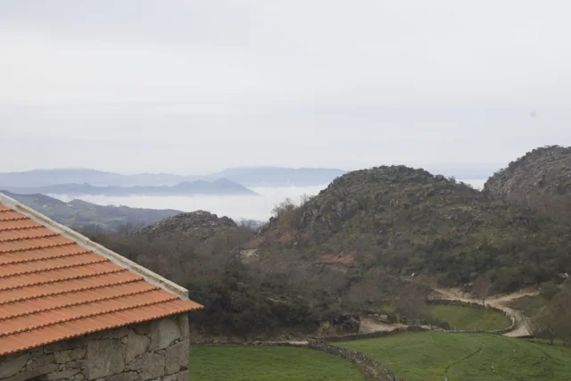
In Torrinheiras, the landscape begins at altitude.
Text size
Your choice is saved only in this browser.
The municipality presents Torrinheiras, in Abadim, as its highest settlement, at around 1020 metres. The trail climbs into the hills and reaches 1159 metres. These are two distinct altitude references: the village and a point on the route, not the walk’s cumulative ascent.
The panorama description names Gerês, Alvão, Marão and Barroso. Lower down, it mentions the Busteliberne stream, Porto d’Olho and, on the return, meadows and grazing Barrosã and Maronesa cattle. The mountains therefore tell a story of distances and views, but also of water, villages and work. Visibility and trail conditions need to be assessed when visiting.
The mountain can also be read close up. Alongside the distant panorama, the description mentions meadows and livestock: clues to land use, not merely decorative details. In a drawing, separate the horizon from the worked land. A simple next question is: which parts of this landscape depend on people’s work?
Explore further: words and activities
Explore this story
One bookmark per reading journey, saved in this browser.
Source and context
Municipality — Trilho de Torrinheiras, altitude, landmarks and landscape
Accessed: . Editorial summary; the date of consultation is not the date of the facts.