Cabreira, Barroso and Lameira
ⓘ
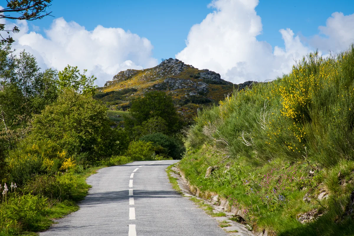
Road and mountain landscape in Serra da Cabreira.
Source: Visit Cabeceiras
Photograph date not stated.
Individual photographer and reuse licence not stated by the source.
ⓘ
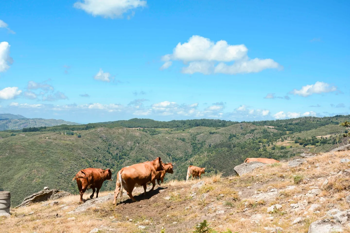
Cattle in the mountain landscape during the 2026 heritage visit.
Source: Museu das Terras de Basto
Photograph date not stated.
Autoria da fotografia e licença de reutilização não identificadas na fonte.
ⓘ
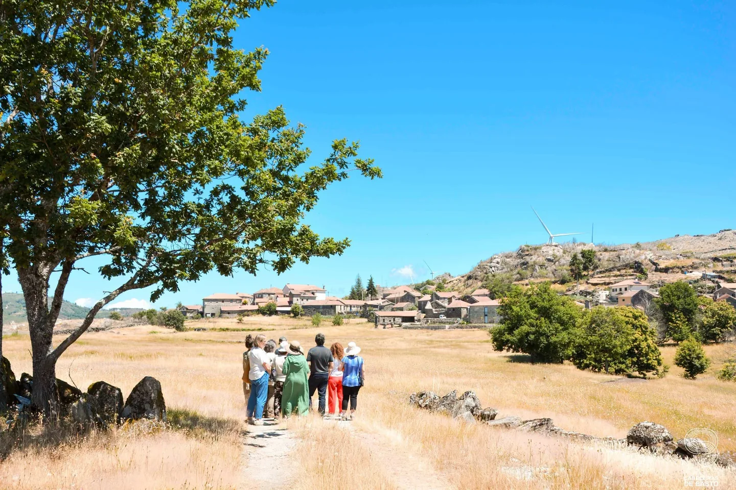
Fields and landscape in Cabeceiras during the 2026 heritage visit.
Source: Museu das Terras de Basto
Photograph date not stated.
Autoria da fotografia e licença de reutilização não identificadas na fonte.
ⓘ
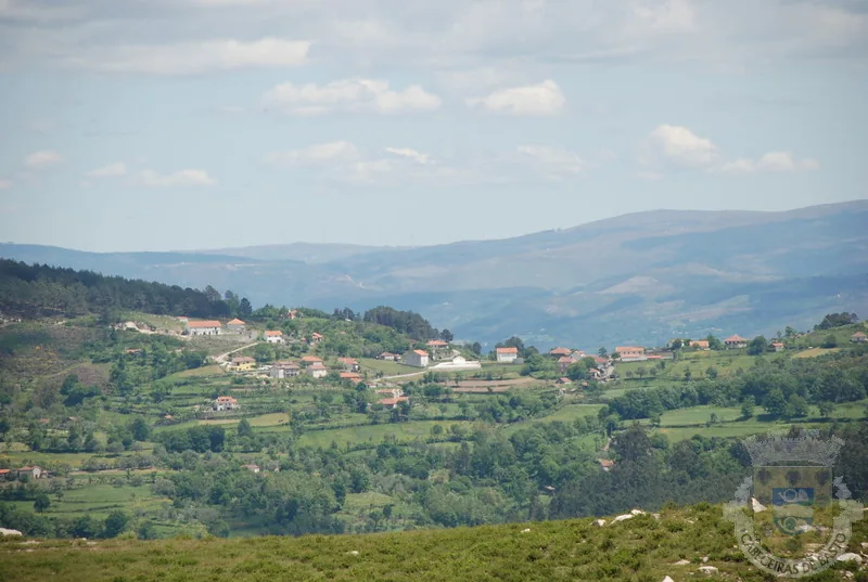
Cabreira landscape with fields and settlement. Archive photograph; date unidentified.
Source: Municipality of Cabeceiras de Basto
Photograph date not stated.
Autoria individual e licença de reutilização não identificadas na página consultada. A fonte não equivale ao autor.
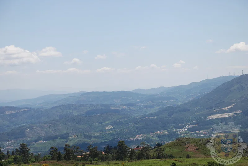
ⓘ
Mountains and valleys of Cabreira. Archive photograph; date unidentified.
Source: Municipality of Cabeceiras de Basto
Photograph date not stated.
Autoria individual e licença de reutilização não identificadas na página consultada. A fonte não equivale ao autor.
Three names to help you read the landscape.
Text size
Your choice is saved only in this browser.
The municipal description uses three mountain ranges to frame Cabeceiras: Cabreira and Barroso to the north, Lameira to the west. These are orientation points, not mountains entirely contained within the municipality.
The neighbours complete the picture: Montalegre and Boticas to the north, Vieira do Minho to the north-west and Fafe to the west. Reading the landscape also means recognising continuity beyond administrative boundaries. Start with names and directions, then look more closely at the villages and changes in altitude.
Explore further: words and activities
Explore this story
From the mountain to the river, choose the path
Open an option and choose the story.
Realize height differences
From the mountains to the valley, the map changes height →Meet an altitude village
A village above the thousand meters →Find the limits drawn by the water
The Tâmega draws the limit →Read the shape of the fields
Peio, Gold and stream Cavez →
One bookmark per reading journey, saved in this browser.
Source and context
Municipality — geographical framework
Accessed:
Município — galeria de paisagens, fotografias sem data identificada
Accessed:
Editorial summary; the date of consultation is not the date of the facts.