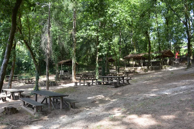
A green space can teach us too
At Vinha de Mouros, leisure meets environmental education.
144 stories
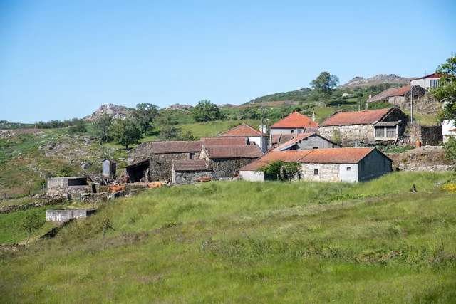
Mountain houses, a stream and a name that stays with you.
Houses, hillside and water shape the village landscape.
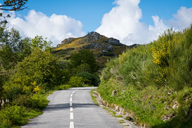
Three names to help you read the landscape.
A seemingly uniform rock can reveal differences up close.
A river that helps explain the south of the municipality.
In Outeiro, the Trutas joins the Peio.
Before paths and houses, there was a landscape of rock.
Vila Nune and Gondiães reveal another part of the geological map.
Near the Tâmega, the ground holds another story.
Along the Penoutas stream, ferns are part of the story.
An old document also describes life in the rivers.
Granite contains minerals you can distinguish by eye.
The map of water resources does not end at the surface.
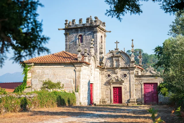
History can be read in windows and corners too.
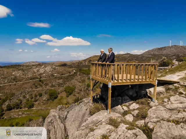
Porto d’Olho became part of a viewpoint network.
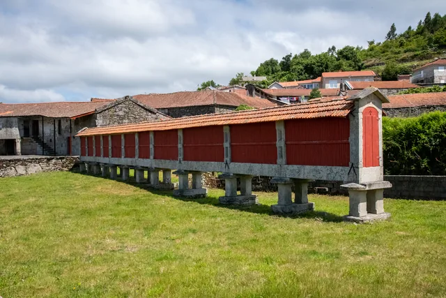
In 1938, a village was selected to represent traditions.
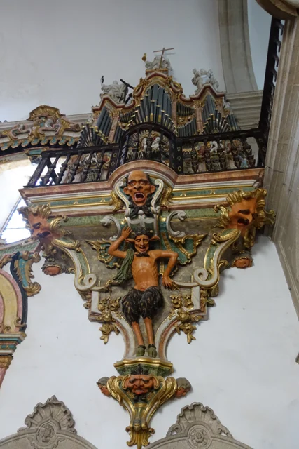
An invitation to look beyond the façade.
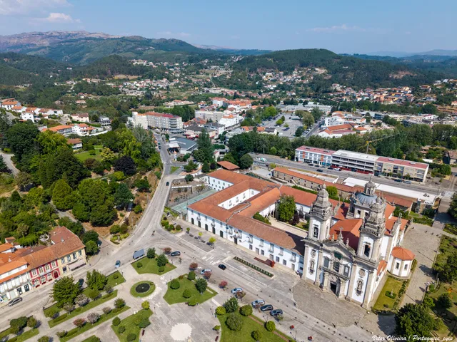
The high altar’s torch stands deserve a closer look.
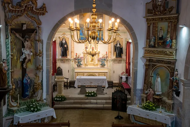
Before screens, people looked at painted panels.
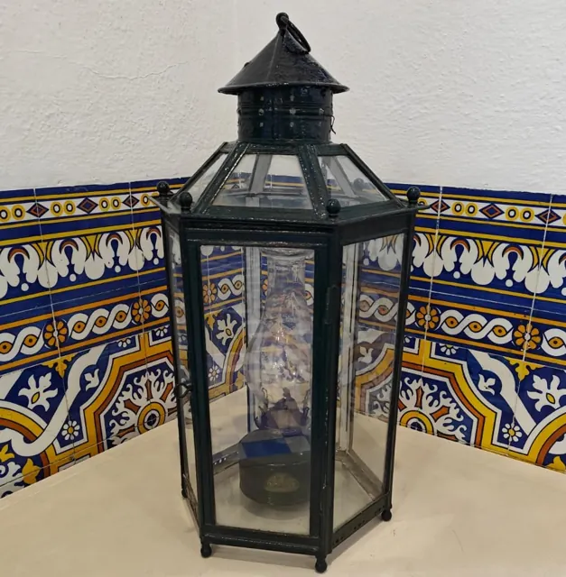
Before looking at the train, notice the platform’s light.
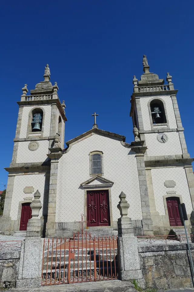
The 1758 account offers a look inside the church.
An account from Vila Nune also looks towards Atei.
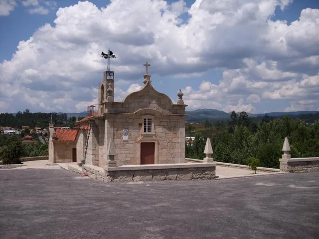
An old sentence changes the way we look at the hillside.
A curiosity of this selection, at random.